Overview of Aerial Photography in Real Estate
In recent years, aerial photography has become an essential component of real estate marketing, particularly within vibrant markets like Miami. Utilizing unmanned aerial vehicles (UAVs) or drones, real estate professionals can capture high-quality images and videos that showcase a property’s exterior, surrounding environment, and unique features from a compelling perspective. This approach enhances the visual appeal of listings, providing prospective buyers with immersive views that traditional ground-level photography cannot achieve.
The adoption of aerial photography has surged due to its ability to present properties in a dynamic and engaging manner, which significantly increases online engagement and interest. Property developers and real estate agents leverage this technology to highlight key features such as waterfront access, sprawling landscapes, or architectural details that can influence buyer decisions.
Miami’s real estate market, known for its luxurious estates, high-rise condominiums, and sprawling waterfront properties, particularly benefits from aerial imagery. These visuals effectively communicate the scale, proximity to notable landmarks, and the lifestyle offered by the location. As the market becomes more competitive, aerial photography stands out as a strategic tool to attract attention and differentiate listings.
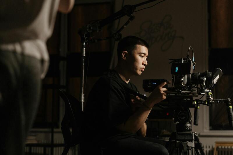
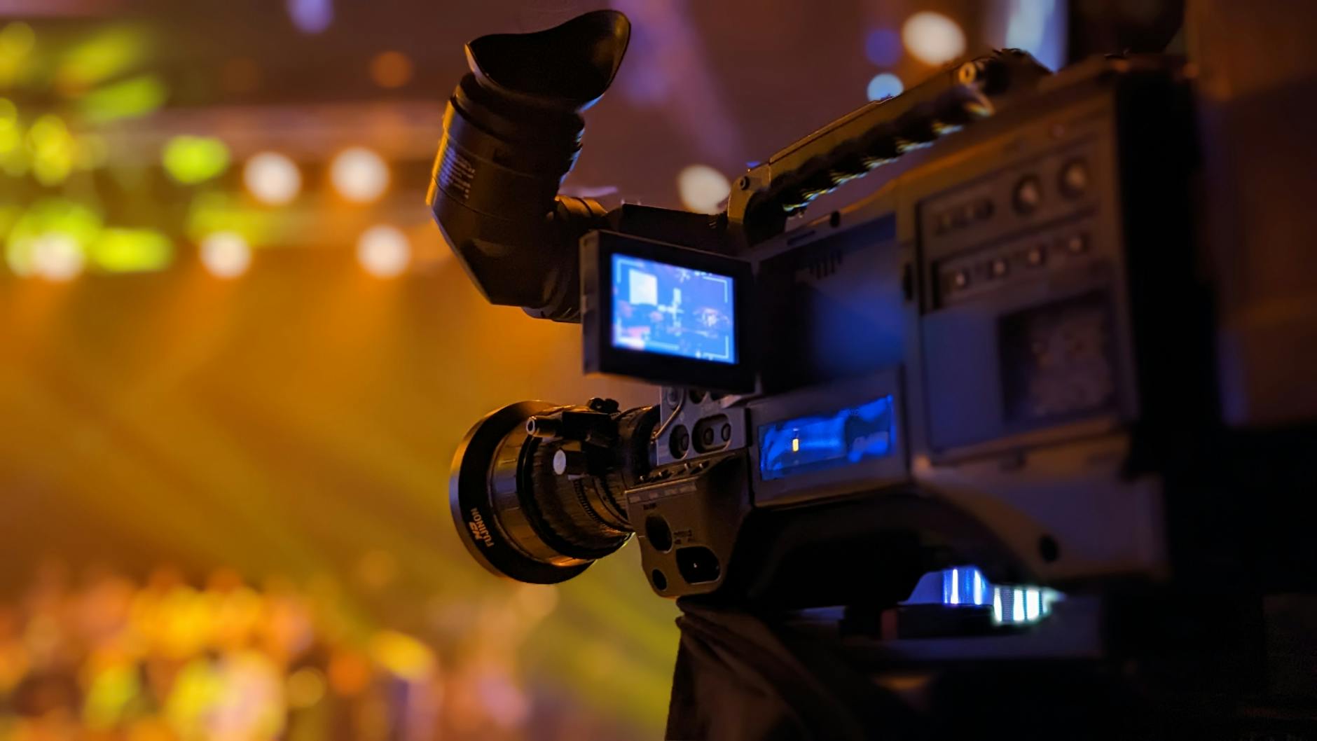
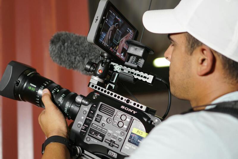
Legitimate aerial photography services employ certified drone pilots and professional-grade equipment to ensure high-resolution imagery and compliance with operational standards. This professionalism assures real estate stakeholders of delivering consistent, high-quality content that enhances property listings, marketing campaigns, and virtual tours.
Factors Influencing Aerial Photography Costs
When evaluating the expenses associated with aerial photography for real estate, several critical factors come into play. These variables directly impact the overall cost and help determine the most suitable service plan for a property. Understanding these elements enables stakeholders to make informed decisions that balance quality and budget considerations.
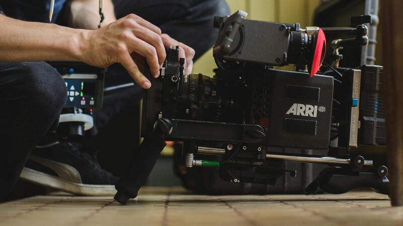
One of the primary determinants is the type of drone used in the shoot. Advanced drones equipped with high-resolution cameras, stabilization systems, and multiple lens options tend to be more costly but deliver superior image clarity and detail. These high-end machines are particularly beneficial for capturing expansive properties or intricate architectural features that require precision imaging.
Another factor is the desired image quality and resolution. Higher resolutions provide crisper, more detailed photographs that are ideal for large-format prints and online virtual tours. Achieving such standards may involve additional equipment or multiple takes, which can increase costs.
The size and complexity of the property also influence pricing. Larger properties necessitate longer flight times to capture entire estates comprehensively. Conversely, smaller or more straightforward sites may require less time and equipment adjustment, resulting in lower costs.
- Property size: Larger properties demand more extensive coverage and longer flight durations.
- Shoot complexity: Properties with unique features, difficult access points, or extensive landscaping increase the scope of the shoot.
- Timing and environment: Flights scheduled during optimal lighting conditions or in areas with obstacles may require advanced planning or specialized pilots.
Operational considerations, such as the time of day, weather conditions, and airspace restrictions, also impact costs. For example, scheduling flights during peak lighting hours or amidst challenging weather conditions may incur extra fees to ensure quality and safety.
Typical Price Ranges for Real Estate Aerial Photography
Understanding the typical cost structure for aerial photography in real estate helps clients make informed decisions and set realistic expectations for their marketing budgets. In Miami, pricing can vary based on several factors, such as the complexity of the property, desired image quality, and additional services required.
Entry-level aerial photography packages generally start around $200 to $400 per session. These options typically include a few high-resolution images captured with basic drone equipment. While suitable for smaller or less intricate properties, they may lack the comprehensive coverage or advanced imaging capabilities sought after by premium listings.
Mid-range offerings typically range from $400 to $800 per shoot. These packages often include longer flight durations, higher image resolutions, and a broader selection of images to showcase the property's features comprehensively. This tier is ideal for properties that require multiple angles, aerial videos, or enhanced editing to attract prospective buyers effectively.
Premium aerial photography services, which can cost $800 or more per session, deliver the highest quality visuals, including 4K video footage, panoramic shots, and detailed 3D flyovers. Professionals in this range utilize sophisticated equipment and sometimes incorporate advanced post-production editing to highlight unique architectural elements or expansive landscapes.
Extra charges may apply for specialized services such as twilight or sunset shoots, drone mapping, or extended flight times required for large properties. Additionally, properties in challenging environments or with restricted airspace may incur supplementary fees due to the need for customized operational planning.
Price differentiation also reflects the level of experience and reputation of the drone service provider. Established companies with extensive portfolios in Miami may command higher fees but often provide guarantees of safety, quality, and punctuality that justify the investment.
Factors that influence the pricing tiers often include:
- Property size and complexity, including landscape and architectural features
- Image resolution and format requirements
- Additional media content such as videos or immersive tours
- Time of shoot, environmental conditions, and logistical considerations
- Level of post-production editing or image enhancement needed
By understanding these benchmarks, real estate professionals and property owners can better align their budgets with the scope of the visual content they aim to develop, ultimately maximizing the impact of aerial imagery in property marketing in Miami.
Additional Services and Their Costs
Beyond standard aerial photography, a range of supplementary services can enhance property marketing efforts and provide comprehensive visual representations of real estate assets. These add-ons typically influence the overall project expense and are selected based on specific marketing strategies and property features.
Video tours are one of the most impactful enhancements, offering dynamic views that engage prospective buyers more effectively. The cost for professional drone-produced videos varies depending on length, complexity, and the inclusion of custom editing features but generally ranges from $300 to $1,000 per project.
3D mapping and modeling services, which provide detailed visualizations of property layouts, are increasingly sought after for showcasing large estates or commercial developments. These services often come with a premium due to their technical complexity, typically costing between $500 and $2,000, depending on the scope and resolution required.
Twilight or sunset shoots are popular for capturing properties in their most inviting light. The cost for this aesthetic enhancement is usually an additional fee, often between $150 and $500, reflecting the need for extra planning, timing adjustments, and specialized lighting equipment.
Immersive media content, such as virtual tours and interactive panoramas, can significantly elevate a property's online presence. Producing high-quality virtual tours involves a combination of aerial imagery, ground-level filming, and professional editing, with costs ranging from $1,000 to over $3,000 depending on complexity and duration.

Additional logistical costs, including special permits for restricted areas, extended flight times, or complex site access, may apply depending on the property's location and environmental considerations. These factors can incrementally raise the overall project cost but are essential for capturing all desired angles and features comprehensively.
Summary of Cost Factors for Supplementary Services
- Type of media content (video, 3D mapping, virtual tours)
- Desired quality and customization level
- Duration and complexity of the shoot
- Environmental and site-specific considerations
- Post-production and editing requirements
Factors Affecting Cost Variability in Miami
Miami's real estate landscape is characterized by diverse property types, from luxury condos and waterfront estates to expansive commercial developments. The region's vibrant property market drives a high demand for premium visual presentations, which can influence aerial photography pricing. Additionally, Miami's unique geographical and environmental characteristics, such as coastal proximity, urban density, and protected areas, play a significant role in determining service expenses.
One key factor affecting costs is the accessibility of the property. Sites located in densely populated or restricted zones often require special permits, additional planning, and sometimes extended flight times to comply with regulations and environmental considerations. This complexity can elevate the overall project cost, especially for properties in high-value neighborhoods or areas with tight airspace controls.
Furthermore, the prestige associated with Miami's luxury market means there is an expectation for high-quality, striking visual content. This demand encourages providers to employ advanced equipment and creative techniques, such as drone stabilization, high-resolution imaging, and custom filming angles, which can add to the expense.
Regional seasonality also impacts pricing. Peak seasons for real estate activity, often aligned with better weather conditions, might see increased demand for specialized services, leading to higher rates. Conversely, off-peak periods could offer opportunities for more discounted, flexible pricing.
Moreover, the level of customization required—such as twilight shoots, virtual staging, or interactive media—will significantly influence the overall costs. These add-ons are often tailored to specific client needs, reflecting the complexity and desired quality of the final product.
In essence, regional factors such as property type, accessibility, market demand, environmental considerations, and customization needs create a dynamic pricing environment for aerial photography services in Miami. Property owners and real estate professionals should collaborate closely with providers to assess the specific parameters of each project, ensuring that the aerial imagery produced meets the desired standards while aligning with budget expectations.
Factors Influencing Aerial Photography Costs
When evaluating the expense associated with aerial photography for real estate in Miami, it is essential to understand the key elements that shape these costs. One primary consideration is the scope and complexity of the project. Basic shots capturing the exterior of a property from a single altitude or angle tend to be less expensive, whereas comprehensive shoots involving multiple locations, angles, or higher altitudes naturally incur higher costs. Additionally, the use of specialized equipment, such as high-end drones with advanced stabilization systems or 4K/8K cameras, can influence the pricing structure due to the investment in technology and expertise required.
Another significant factor is the level of customization involved. For example, flights scheduled during twilight or sunset to capture dramatic lighting effects require precise timing and additional planning. Similarly, incorporating virtual staging, 3D mapping, or interactive media components will inevitably add to the overall project cost. The need for multiple revisits, editing, and post-production work further impacts pricing, especially when sophisticated editing techniques are desired to enhance visual appeal.

Accessibility of the property and surrounding environment also plays a crucial role. Properties situated in hard-to-reach or restricted areas may require additional effort, safety measures, or permits, thereby increasing expenses. Weather conditions and environmental considerations in Miami, such as wind, humidity, or no-fly zones, can lead to scheduling adjustments, potentially affecting costs by requiring rescheduling or additional safety protocols.
Furthermore, the experience and reputation of the service provider contribute to cost variability. Experienced professionals with extensive portfolios often charge a premium due to their proven capability to deliver high-quality results aligned with client expectations. Standard package options, such as basic drone footage, might be more budget-friendly, whereas premium packages that include extensive editing, multiple takes, or customized solutions command higher prices.
Finally, regional factors unique to Miami’s real estate landscape influence pricing. The competitive nature of the Miami market often encourages service providers to offer diverse options, which can lead to variations in cost based on demand, seasonal fluctuations, and client specifications. Understanding these variables can help property owners and real estate professionals make informed decisions to optimize their investment in aerial imagery.
Factors Affecting Cost Variability in Miami
Miami’s vibrant real estate market and diverse property types create a dynamic environment for aerial photography services. Several regional elements influence the overall costs associated with capturing aerial imagery. One primary factor is the availability and demand for professional drone operators within the area. High demand during peak seasons or prominent property listing periods can drive prices upward, reflecting increased competition among service providers. Environmental conditions, such as the persistent humidity, coastal winds, and unpredictable weather in Miami, can impact scheduling and operational efficiency. These factors might necessitate additional safety measures or rescheduling, which could lead to increased costs. Additionally, Miami’s many restricted airspace zones, including proximity to airports and heliports, require precise navigation and possibly special permits, further influencing pricing. Regional market competition also plays a significant role. The abundance of providers striving to differentiate their services may result in varied pricing strategies. Providers offering more comprehensive packages, such as high-resolution images, 4K videos, or advanced editing, often command premium rates. Conversely, standard aerial shots or basic footage may be more budget-friendly. Another aspect is the diversity in property sizes and locations—luxury waterfront estates or high-rise condos in Miami Beach tend to require specialized equipment and skill, increasing costs. Moreover, properties in hard-to-access areas or with complex layouts may involve extra effort, specialized equipment, or safety protocols, further impacting the overall price. Lastly, seasonal fluctuations influence pricing. During busy listing seasons, general costs may increase due to higher demand, whereas off-peak times might offer more competitive rates. Understanding these regional-specific factors enables clients to better anticipate expenses and choose services aligning with their project needs and budget constraints in Miami.
Cost Considerations for Aerial Photography in Real Estate
Understanding the comprehensive pricing structure for aerial photography in the Miami real estate market involves evaluating several key components. While base rates establish a starting point, additional charges can significantly influence the overall expenditure. These costs are rooted in the complexity of the shoot, equipment requirements, and post-production needs.
Equipment and Technology Fees
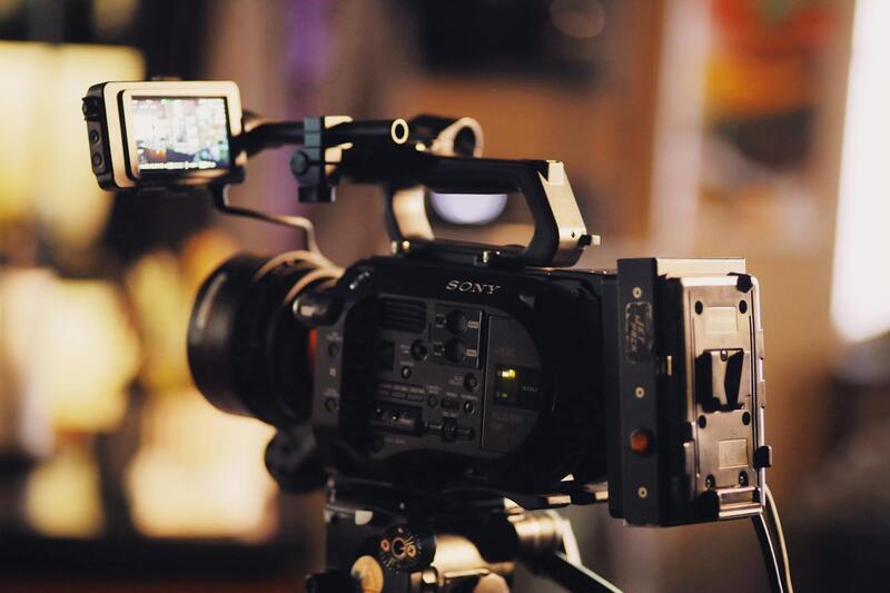
High-quality aerial imagery relies on advanced drone technology capable of capturing stabilized, high-resolution visuals. The deployment of state-of-the-art drones, including 4K video capabilities and high-definition still cameras, often incurs higher costs due to the specialized hardware involved. Additionally, investments in stabilizers, gimbals, and aerial mapping software can contribute to increased operational expenses. Service providers may also include charges for equipment maintenance and calibration to ensure optimal image quality.
Operational and Crew-Related Expenses
The complexity of the shoot influences labor costs. Larger or multi-story properties, especially those situated in hard-to-reach locations, may require additional crew members or specialized pilots with advanced skills. Scene preparation, site assessment, and safety measures also impact overall costs. In some cases, providers might include pre-flight planning, permits, or insurance as part of their fee structure, reflecting a comprehensive approach to project management.
Post-Production and Editing
Refining aerial images and footage often involves professional editing and color correction, which can enhance visual appeal and align the media with marketing strategies. The extent of post-production work—such as 3D modeling, panoramic stitching, or creating virtual tours—directly affects the final cost. Customized content orders, incorporating branding or specific visual effects, may demand additional editing time and expertise, thereby influencing pricing.
Permits, Restrictions, and Location-Specific Costs
In Miami, several airspace zones require careful navigation and may necessitate special permits or compliance with federal and local regulations. These requirements can introduce extra fees, especially for properties near airports, heliports, or other sensitive areas. Managing these permits involves administrative processing and potential coordination with regulatory bodies, which can add to the overall expenditure.
Market Demand and Timing
Pricing may also fluctuate based on seasonal market dynamics. During peak real estate seasons, demand for high-quality aerial imagery surges, potentially driving prices upward. Conversely, off-peak times might present opportunities for more favorable rates, especially when service providers seek to fill their schedules.
By understanding these nuanced factors, property owners and real estate professionals can make informed decisions that balance quality and budget, ensuring that aerial imagery investments provide maximum value in a competitive Miami market.