Importance of Aerial Photography in Real Estate Listings
In the competitive landscape of real estate, high-quality imagery serves as a critical element in captivating potential buyers. Aerial photography, in particular, offers a compelling perspective that elevates property listings beyond traditional ground-level shots. By utilizing aerial images, real estate professionals can showcase the full scope of a property's features, surrounding environment, and neighborhood context with clarity and impact. These images provide a comprehensive view that helps prospective buyers visualize the property's potential, demonstrate its size, and highlight unique selling points that might be missed from conventional angles.
Implementing aerial photos in listing descriptions can significantly increase engagement rates. Properties featuring striking aerial images often experience higher traffic, more inquiries, and faster sales processes. For buyers, aerial photography offers transparency, allowing them to assess layout, topography, landscaping, and access points without physically visiting the site. This is especially advantageous in Miami, where waterfront properties, sprawling estates, and scenic surroundings benefit immensely from drone-captured visuals. Through aerial imagery, agents can effectively differentiate their listings, attract targeted attention, and foster increased interest among prospective buyers and investors alike.

This visual approach not only adds an aesthetic dimension but also enhances the informational value of a listing. Well-crafted aerial images can depict property boundaries, outdoor amenities such as pools and gardens, and proximity to local attractions or transportation hubs. When integrated seamlessly into an online listing, these images serve as a powerful tool, allowing viewers to gain a comprehensive understanding of the property without the need for physical viewing. 1 Consequently, aerial photography has become a strategic component in modern real estate marketing, enabling agencies to attract a broader audience, build credibility, and expedite the selling process.
- Enhanced visual appeal, making listings more attractive to potential buyers.
- Ability to showcase entire properties, land parcels, and landscaping from above.
- Provides a unique perspective that sets listings apart in a crowded market.
- Helps in demonstrating property size, layout, and environment comprehensively.
- Facilitates targeted marketing for waterfront, rural, or large-scale properties.
Adapting aerial photography into real estate marketing strategies is vital for establishing a competitive edge. When executed with precision and professionalism, aerial shots can significantly influence buyer decisions, shorten sales cycles, and elevate the overall perception of property value. As the real estate market continues to evolve, integrating innovative visual tools remains essential for attracting discerning clients and maximizing property exposure.
Key Features Captured with Aerial Photos
High-quality aerial photography offers an expansive view that captures critical features of a property and its surroundings, providing a comprehensive visual narrative. These images typically include the property's exterior, landscaping, driveways, fencing, and access points, giving potential buyers a clear understanding of the overall layout. Additionally, aerial shots often highlight unique architectural elements or outdoor features such as pools, patios, or garden spaces that enhance property appeal. For larger parcels of land or properties with extensive grounds, drone imagery can effectively illustrate property boundaries, natural features, and proximity to amenities or cityscapes, which are difficult to convey through traditional ground-level photos.

Moreover, aerial images can reveal topographical features, such as slopes, water bodies, and natural landscaping, which influence property usage and valuation. These visuals not only inform potential buyers about the physical features but also help in making strategic decisions regarding landscaping, renovations, or development opportunities. Properly captured, aerial photos deliver an authentic perspective, emphasizing the scale and environment of the property, thereby enhancing the visual storytelling that influences purchasing decisions.
In the competitive niche of Miami real estate, showcasing properties from above grants a significant advantage. It allows sellers and agents to demonstrate not only the immediate property but also its context within the neighborhood, nearby attractions, and transportation links. These visuals can be strategically used to target specific markets, such as waterfront estates, rural retreats, or sprawling developments, thereby aligning marketing efforts with the property's unique selling points. Accurate aerial representations serve to increase transparency, build confidence among prospective buyers, and ultimately drive higher engagement levels.
Key Features Captured with Aerial Photos
High-quality aerial photography provides a comprehensive view of a property’s layout and its surrounding environment, which is essential for creating an impactful listing. These images reveal the property's overall shape, size, and spatial relationships, allowing prospective buyers to visualize the property more vividly. Such photos highlight key aspects like land contours, elevation changes, and outdoor spaces, including gardens, driveways, and recreational areas, offering a holistic understanding of the property’s design and landscaping.
Additionally, aerial images showcase neighboring features, such as nearby parks, commercial centers, and access points, contributing to a complete picture of the property's context within the community. This perspective can also emphasize unique selling points like waterfront access, expansive yards, or proximity to key city attractions. By capturing the property’s boundaries clearly, aerial photos help clarify what is included in the sale, reducing misunderstandings and facilitating smoother transactions.
Best Practices for Aerial Real Estate Photography
To maximize the impact of aerial images, certain best practices should be followed. Planning the flight path and timing is crucial, ideally during daylight hours with clear weather to ensure optimal lighting and visibility. Utilizing high-resolution cameras with stabilization equipment minimizes motion blur and ensures sharp, detailed images. Positioning the drone at strategic angles allows a comprehensive capture of the property from multiple perspectives, such as front elevations, backyards, or unique features like pools or outdoor living areas. Overlapping shots can be stitched together to create panoramic views, providing potential buyers with a broad, detailed look at the property. Post-processing also plays a vital role. Adjustments for brightness, contrast, and color correction can enhance the visual appeal without misrepresenting the property. Maintaining consistent image quality and adhering to safety guidelines during flight operations ensures a professional presentation that adheres to industry standards. Utilizing these best practices enhances the effectiveness of aerial photography, making listings more attractive and trustworthy for serious buyers.
Key Features Captured with Aerial Photos
High-quality aerial images provide a comprehensive view of the property's unique characteristics, enhancing listings and attracting potential buyers. These photos are instrumental in showcasing the property's scale, layout, and distinctive features from angles that ground-level shots simply cannot achieve. Critical elements such as expansive front and backyard spaces, outdoor amenities, landscaping, and architectural details are highlighted, giving viewers a clear understanding of the property's aesthetic appeal.
Furthermore, aerial photos effectively illustrate the relationship between the property and its surrounding environment. They reveal neighboring features such as nearby parks, bodies of water, commercial zones, and transportation links, which are vital for buyers considering location convenience and neighborhood amenities. The visual impact of such expansive views can significantly influence a buyer's perception, making a property stand out in competitive markets.
In addition to presenting the property itself, aerial photos can capture the overall community layout, including streetscapes, community parks, and recreational facilities. This contextual information helps prospective buyers visualize their lifestyle and the neighborhood atmosphere, contributing to a more informed decision-making process.
The precision and detail accessible through drone technology allow real estate professionals to produce images that are both compelling and accurate. When executed with attention to detail, these images serve not just as promotional material but as an integral part of the property's story, illustrating the full scope and appeal of the listing.

Legal and Regulatory Considerations in Miami
Adherence to Drone Operation Guidelines
While aerial photography offers substantial benefits for real estate marketing, it is essential to conduct drone operations within the framework of established policies and guidelines. Operators must ensure that drone flights are performed in designated areas and at permissible altitudes, typically not exceeding 400 feet above ground level. Maintaining visual line-of-sight with the drone during operation is critical to ensure control and safety, especially in densely populated urban settings like Miami.
Preparation includes understanding Miami’s specific airspace classifications, which range from uncontrolled to controlled zones. In controlled airspace, prior authorization from relevant authorities is necessary, especially near airports or heliports. Proper planning minimizes disruptions to other air traffic and ensures a smooth flight process.
Obtaining Necessary Permits and Documentation
Securement of the appropriate permits is a vital step before conducting drone flights for commercial purposes. This process involves submitting applications demonstrating adherence to safety protocols and operational standards. Having documented plans and liability insurance can streamline approval processes and provide clarity to stakeholders involved.
Maintaining Privacy and Respecting Community Norms
Respecting privacy rights of residents and avoiding intrusive surveillance is paramount. This involves avoiding capturing private property without consent and steering clear of sensitive areas such as schools, hospitals, or private neighborhoods where residents have expressed privacy concerns. Clear communication with property owners and community members can foster trust and facilitate the smooth execution of aerial shoots.
Safety and Equipment Standards
Using certified equipment maintained according to manufacturer guidelines ensures flight safety and image quality. Additionally, operators should complete relevant training or certification programs to demonstrate proficiency, particularly in complex urban environments like Miami, which feature high-rise buildings and bustling streets.
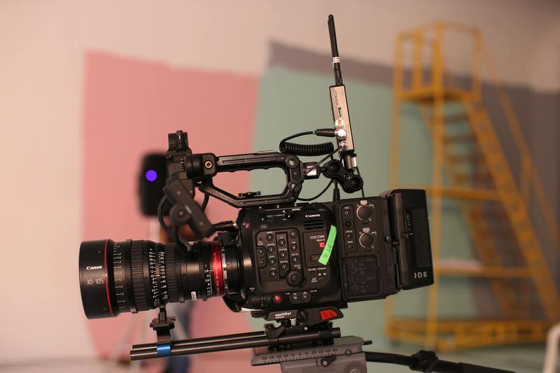
Optimal Equipment and Techniques for Accurate Aerial Imagery
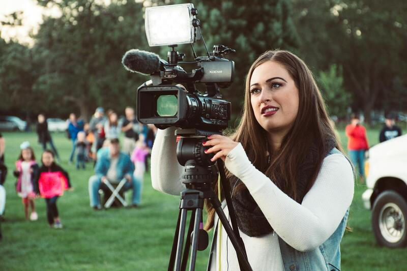
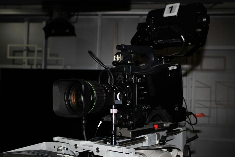
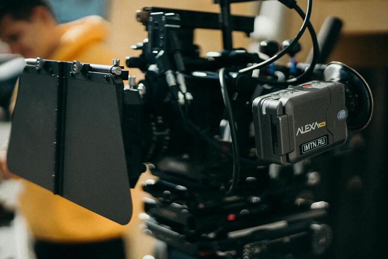
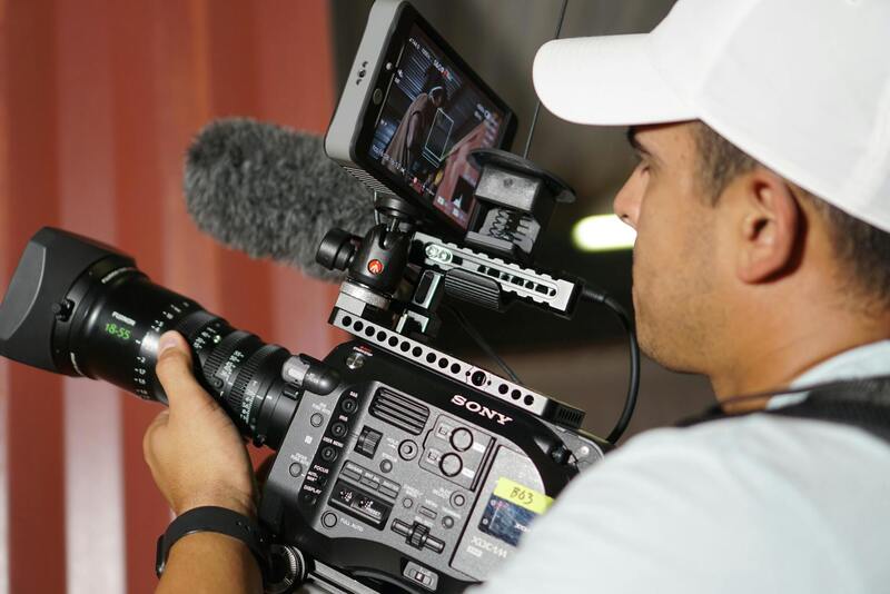
To achieve high-quality aerial photographs that effectively showcase properties, utilizing specialized equipment and refined techniques is essential. High-resolution cameras mounted on drones must be capable of capturing crisp, detailed images under varying lighting conditions. In addition, stabilization systems, such as gimbals, play a critical role in minimizing motion blur and ensuring smooth footage, particularly when flying in windy environments typical of Miami's coastal areas.
Flight planning involves selecting the appropriate altitude and angles to emphasize the property’s topography, surrounding landscape, and unique architectural features. For example, lower angles may highlight building details, while higher vantage points can illustrate property boundaries and neighborhood context. Incorporating multiple shots from different perspectives enhances the overall visual narrative, making listings more appealing to potential buyers.
Post-flight editing also plays a vital role in delivering professional-grade images. Adjustments such as color correction, horizon leveling, and selective cropping help refine visual appeal and ensure consistency across a property portfolio. The goal is to produce images that are not only visually stunning but also true to the actual appearance of the property, thereby avoiding misleading representations.
Ensuring Safety and Practicality During Drone Operations
Maintaining safety standards is foundational to successful aerial photography projects. This includes pre-flight checks of all equipment to confirm functionality and battery life, as well as establishing clear flight paths to prevent collisions with structures or other aircraft. Conducting risk assessments tailored to Miami’s urban and coastal settings helps identify potential hazards, such as high-rise structures or busy waterways.
Operational planning should also account for Miami’s fluctuating weather patterns. Wind speeds, humidity, and sudden storms can impact drone stability and flight duration. Planning flights during optimal weather windows minimizes disruptions and guarantees consistent, high-quality results.
Compliance with Regulations and Community Engagement
Adherence to established procedures for legal compliance is non-negotiable in aerial property photography. This involves aligning flight plans with the FAA’s guidelines and any specific airspace restrictions in Miami, especially near airports and heliports. It is important to conduct flights within approved zones and times, avoiding sensitive areas as required.
Communicating with local authorities and property owners prior to the shoot promotes transparency and helps address privacy considerations. These steps foster collaborative relationships with the community, ensuring that aerial shooting proceeds smoothly without generating conflicts or concerns.
Investing in qualified, experienced drone operators who prioritize safety and quality ensures that every project meets professional standards, ultimately delivering compelling visual content that elevates real estate marketing efforts.
Key Features Captured with Aerial Photos
Aerial photography offers an unparalleled perspective of property features that are often missed in ground-level shots. High-altitude images can truly showcase the magnitude of a property, revealing its architectural details, landscaping design, and surrounding environment with precision. This comprehensive view helps potential buyers understand the property's layout, spatial relationships, and scale in relation to neighboring structures and natural features.
Among the most significant elements captured through aerial images are the overall property footprint, rooftop design, and unique architectural features. For large estates or commercial properties, aerial views can display vast land improvements, outdoor amenities such as pools, gardens, patios, and even tennis courts or recreational areas.
Beyond the property itself, aerial photos often include adjacent infrastructural features like access roads, pathways, parking facilities, and nearby water bodies. These images can also highlight the property's proximity to key landmarks, cityscapes, or waterfronts, particularly relevant for Miami's coastal and urban real estate sectors.
 igure>
This level of detail assists real estate professionals in crafting compelling narratives around a property’s value proposition. It offers potential buyers a clearer understanding of the property's placement and context within its environment, ultimately supporting more informed decisions and facilitating faster sales.
Best Practices for Aerial Real Estate Photography
To maximize the effectiveness of aerial imagery, it is essential to adopt a set of best practices that ensure safety, quality, and consistency. Proper planning starts with choosing the right timing—ideal weather conditions with minimal wind and clear visibility to ensure stable drone operation and sharp image capture.
Pre-flight assessments should include a detailed review of the property and surrounding airspace, particularly in busy Miami neighborhoods with dense air traffic or restricted zones. These assessments help delineate safe flight paths, avoid sensitive areas, and ensure compliance with all relevant guidelines.
Camera settings play a crucial role in delivering stunning aerial images. High-resolution cameras, along with appropriate stabilization equipment, guarantee crisp, vivid visuals. Employing techniques such as bracketing for HDR photography, or capturing multiple angles, can further enhance the visual appeal.
Post-processing is equally important. Editing images to adjust brightness, contrast, and color balance ensures the final photos are vibrant and attractive. Consistency in style and quality across all images in a marketing campaign helps establish a professional brand image.
Furthermore, coordination with real estate agents or property owners allows for tailored photo sessions that highlight the property's best features. Scheduling during optimal times of the day, such as early morning or late afternoon, can produce softer light and more aesthetically pleasing images.
 igure>
Integrating Aerial Photos into Marketing Campaigns
Effective integration of aerial photos into real estate marketing strategies is essential for maximizing property visibility and attracting potential buyers. Professional aerial images serve as compelling visual assets across multiple channels, including online listings, social media platforms, and printed marketing materials.
To ensure these images reach the target audience effectively, they should be incorporated into a cohesive digital marketing plan that highlights the property's unique features and its surrounding environment. Incorporating high-quality aerial visuals into property websites, virtual tours, and promotional videos helps create an immersive experience, allowing prospective buyers to visualize the property in its entirety and understand its geographic context seamlessly.
Utilizing aerial photos alongside detailed property descriptions can significantly enhance listing appeal by providing a comprehensive view that showcases land size, landscaping, proximity to nearby amenities, and the property's relationship to key Miami landmarks. This holistic presentation can lead to increased engagement and faster sales cycles.
Social media platforms offer dynamic opportunities for promoting aerial images, leveraging their visual nature to generate interest and shares. Targeted advertising campaigns that feature stunning drone shots can reach specific demographics interested in luxurious waterfront homes, sprawling estates, or developments in desirable Miami neighborhoods.
When integrating aerial photos, consistency in style and quality maintains a professional appearance. Ensuring that images are optimized for different formats and devices is equally important, facilitating smooth viewing experiences across desktops, tablets, and smartphones.
Maintaining an organized archive of aerial visuals enables real estate professionals to update listings or campaigns efficiently, ensuring fresh and appealing content is regularly available. Additionally, pairing aerial images with other media, such as 3D models or immersive virtual tours, creates a comprehensive marketing package that stands out in a competitive market.