Overview of Aerial Real Estate Photography
In the realm of modern property marketing, aerial real estate photography has emerged as a vital tool for presenting properties from captivating perspectives. This specialized form of photography captures the expansive beauty of residential and commercial properties by utilizing elevated viewpoints that traditional ground-level shots simply cannot achieve. The strategic use of drone technology and high-resolution cameras enables real estate professionals to showcase an entire estate, surrounding landscapes, and unique architectural details with striking clarity.
Aerial imagery plays a significant role in enhancing a property’s visual appeal, allowing potential buyers and investors to grasp the property's scale, layout, and surrounding environment more effectively. This comprehensive view not only highlights the property’s aesthetic features but also provides context about its proximity to amenities, natural features, and infrastructural elements within the Miami area.
The popularity of aerial photography in Miami’s competitive real estate market stems from its ability to differentiate listings and attract more interest. Developers, real estate agents, and property owners increasingly leverage drone-based imaging to create compelling marketing campaigns. The vibrant cityscape, coastline, and lush neighborhoods serve as ideal backdrops that accentuate the value and desirability of properties showcased through aerial views.
Legal and Safety Considerations in Miami
When deploying aerial real estate photography, understanding the established operational standards is essential. Professional operators adhere to local regulations and industry best practices to ensure safe and compliant drone usage. This includes maintaining proper altitude limits, avoiding restricted zones, and respecting privacy boundaries within Miami's diverse neighborhoods.
Operators are equipped with up-to-date knowledge of Miami's airspace restrictions, which can include designated no-fly zones around airports, heliports, and sensitive infrastructure. They implement comprehensive risk assessment protocols before each shoot, reviewing weather conditions and potential obstacles to mitigate hazards during flight.
Furthermore, professional drone operators utilize advanced technology, such as geo-fencing and automatic return-to-home features, to uphold safety standards. This blend of regulations, technology, and expertise ensures smooth operations, minimizes disruptions, and maintains the safety of personnel and the public.
Developers and property professionals seeking aerial imagery services must select providers who prioritize strict adherence to industry standards, thereby safeguarding everyone involved and preserving the integrity of the aerial photography process.
Equipment and Techniques for Aerial Photography
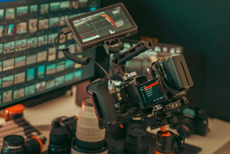
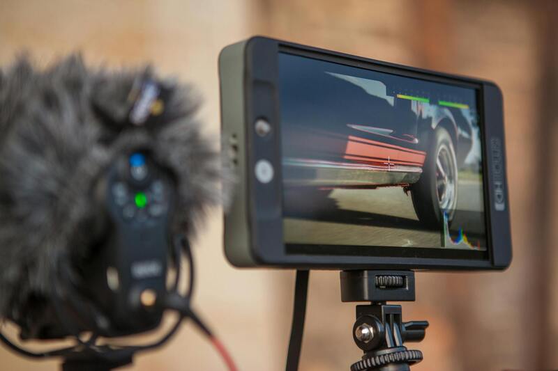
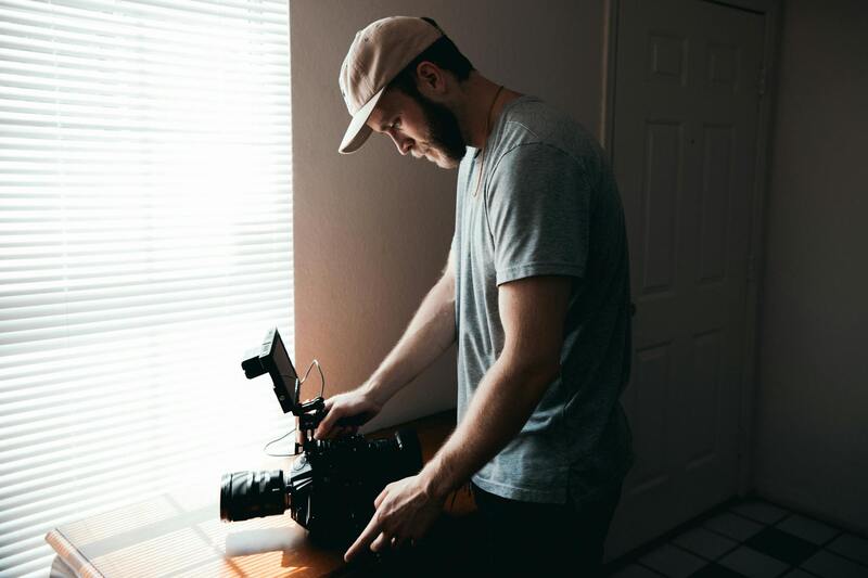
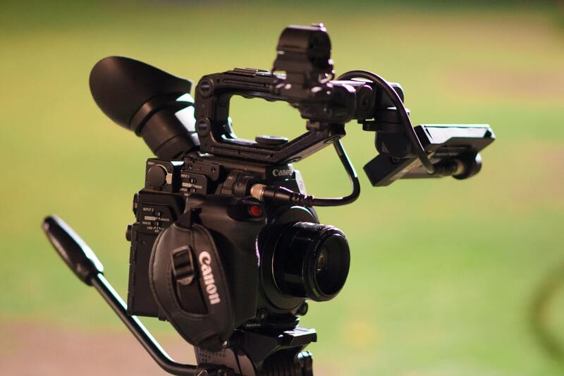
High-quality aerial images rely on sophisticated equipment designed specifically for capturing clear, stable visuals from the air. Professional operators typically utilize high-resolution drones equipped with advanced stabilization systems, versatile camera gimbals, and high-speed data transmission capabilities. Such equipment allows for precise control and detailed imaging, even in challenging lighting or weather conditions.
In addition to hardware, effective aerial photography employs refined techniques, such as strategic flight planning, optimal angles, and controlled lighting conditions. Using pre-mapped flight paths ensures comprehensive coverage of property layouts, while vertical and oblique shots provide diverse perspectives that enhance visual storytelling. Skilled operators adapt their methods to highlight key features, such as architectural elements, landscaping, and surrounding amenities, creating compelling visuals that resonate with prospective buyers.
Employing the right gear coupled with expert techniques results in images that not only captivate viewers but also provide accurate representations of properties and their environments, facilitating effective marketing campaigns.
Official Methods for Conducting Aerial Real Estate Photography
When engaging in aerial real estate photography, it is essential to adopt methods that ensure the production of high-quality visuals while maintaining operational standards. Official practices include utilizing registered unmanned aerial vehicles (UAVs) fitted with professional-grade cameras to achieve crisp, detailed imagery of properties from various vantage points.
Proprietary flight planning software is employed to delineate precise flight paths, enabling comprehensive coverage of large or complex properties. These software solutions facilitate the creation of pre-programmed routes that optimize flight efficiency and image consistency. During flights, operators continuously monitor drone positioning and camera settings, adjusting for variables such as lighting and weather conditions to maintain image clarity.
Another key aspect involves meticulous shot composition. Professionals follow established guidelines for framing, which include selecting appropriate altitudes, angles, and perspectives to showcase architectural features and landscape elements. By capturing multiple views—vertical shots for overall layout and oblique angles for detail—the resulting images serve as compelling visual narratives.
Throughout the process, adherence to safety protocols is paramount. This involves performing pre-flight inspections, establishing secure flight zones, and maintaining visual line-of-sight communication with the drone. Moreover, operators often coordinate with property owners and local authorities to ensure smooth execution and safeguard all parties involved.
Where possible, imagery is captured during optimal lighting windows—typically during early morning or late afternoon—to enhance visual appeal. Post-flight, images are processed with specialized software to correct color balance, improve clarity, and highlight key property features. These steps ensure the final visuals meet high standards of clarity and detail, ultimately supporting effective marketing efforts.
Implementation of Official Methods in Miami's Aerial Real Estate Photography
Conducting aerial real estate photography in Miami necessitates the adoption of precise, standardized procedures that ensure high-quality results while adhering to the city's operational protocols. This entails detailed pre-flight planning, including the use of high-grade, certified equipment selected specifically for real estate imaging. Drone pilots in Miami often utilize advanced unmanned aerial vehicles equipped with professional-grade cameras capable of capturing high-resolution images suitable for commercial property listings.
Prior to each shoot, comprehensive site assessments are performed to identify potential obstacles, establish safe flight zones, and confirm favorable weather conditions—particularly lighting, wind speed, and visibility. These assessments allow operators to optimize camera angles, altitudes, and flight paths that best highlight the property's architectural and landscape features without risk.
During the actual flight, operators maintain continuous line-of-sight communication and adhere to regulated altitude limits and no-fly zones stipulated by local authorities. This guarantees that all operations remain within prescribed boundaries, protecting the safety of individuals and property alike. Capture techniques include deploying both vertical images for comprehensive property overviews and oblique shots from varied angles to emphasize unique features. By executing multiple passes under optimal lighting conditions—most often during early mornings or late afternoons—photographers capture images that accentuate the property's aesthetics with natural light enhancement.
Post-capture, images undergo meticulous processing using sophisticated software that corrects color imbalances, sharpens details, and enhances visual appeal. These edits are performed adhering to best practices for consistency, ensuring that images accurately represent the property's true appearance and appeal to prospective buyers or tenants. Maintaining a standard of transparency and credibility throughout this process aligns with established professional guidelines.
Ultimately, executing aerial real estate photography with official methods in Miami ensures the creation of compelling, high-resolution visual content that accurately showcases property features. This reliable approach enhances property marketing strategies by providing engaging visuals that attract serious buyers, facilitate faster sales, and reinforce the professionalism of the marketing campaign.
Equipment and Techniques for Aerial Photography
Selecting the proper equipment is fundamental to capturing high-quality aerial images that effectively showcase real estate properties. The most common tools include high-resolution drones equipped with advanced cameras capable of capturing detailed images at various angles. These drones typically feature stabilized gimbals to minimize motion blur and ensure sharp, clear visuals whether shooting from low or high altitudes.
Advanced drones allow for precise control over flight paths, enabling photographers to systematically cover all necessary angles around a property. This control is essential for capturing comprehensive visuals—both vertical shots that present an overall property overview and oblique angles that highlight architectural features or landscaping details.
Techniques such as executing multiple passes under different lighting conditions optimize image quality. Early mornings and late afternoons often provide softer natural light, reducing harsh shadows and glare that can obscure property details. These times also offer a warm, inviting tone that enhances the property's visual appeal.
Aerial photographers utilize a mixture of techniques, including planned flight paths, to ensure consistent coverage and avoid missed opportunities. Employing certain angles—such as bird's eye views or diagonal shots—can add dramatic emphasis and better depict property layouts. Additionally, altitude variations help in emphasizing large properties or dense landscapes, providing potential buyers with a clearer perspective of the estate.
Best Practices for Aerial Real Estate Shoots
Executing effective aerial real estate photography in Miami requires adherence to established best practices that ensure high-quality results while maintaining safety and compliance. Precision planning begins with a detailed assessment of the property and its surroundings. This includes understanding local airspace restrictions, evaluating potential obstacles such as tall trees, power lines, and neighboring structures, and determining the optimal flight paths to capture all unique features of the estate.
Flight planning should incorporate multiple vantage points. This involves capturing broad overview shots that showcase the property’s boundaries and setting, as well as closer, detailed images that highlight specific architectural features, landscaping, and outdoor amenities. Employing a variety of angles, including elevated top-down shots and oblique perspectives, provides potential buyers with a comprehensive view of the estate’s layout and scale.
Utilizing stabilized drones equipped with high-resolution cameras is essential for capturing sharp, professional-grade images. During the shoot, maintaining consistent altitude and camera settings ensures uniformity across all visuals, which is crucial for cohesive property presentations. Additionally, shooting during optimal weather conditions—preferably in clear, calm weather—reduces the likelihood of motion blur or image distortion caused by wind or rain.
Pre-flight site reconnaissance is also beneficial. Visiting the property beforehand allows the operator to identify any potential hazards or obstacles, plan safe flight paths, and determine the best times for lighting conditions, such as golden hour, to enhance the visual appeal of the property.
Post-production, images should undergo careful editing to enhance their visual impact while preserving authenticity. This involves correcting color balances to accurately reflect natural hues, sharpening details to highlight architectural features, and adjusting contrast and exposure levels for maximum clarity. Advanced techniques like High Dynamic Range (HDR) imaging can be employed to balance exposure differences within a shot, ensuring both bright and shadowed areas are well-defined.
Furthermore, images should be stabilized to eliminate any unwanted camera shake or vibrations, especially in windy conditions. Consistent and high-quality aerial visuals can dramatically boost the appeal of real estate listings, providing a distinct visual narrative that draws potential buyers and supports faster sales.
Ultimately, success in aerial real estate photography hinges on meticulous execution—combining advanced equipment, strategic planning, and professional post-processing—to create stunning visuals that accurately and attractively showcase Miami’s diverse and luxurious properties.
Equipment and Techniques for Aerial Photography
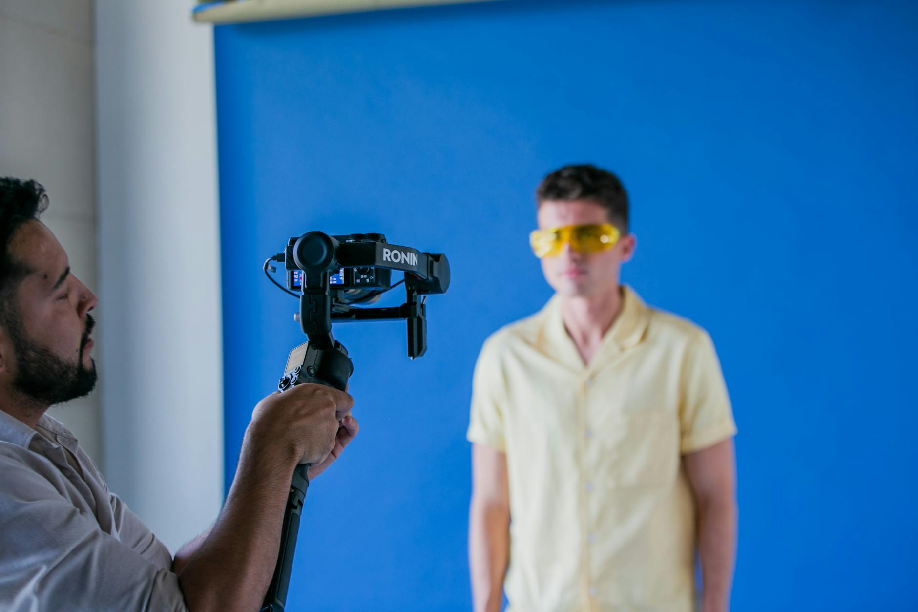
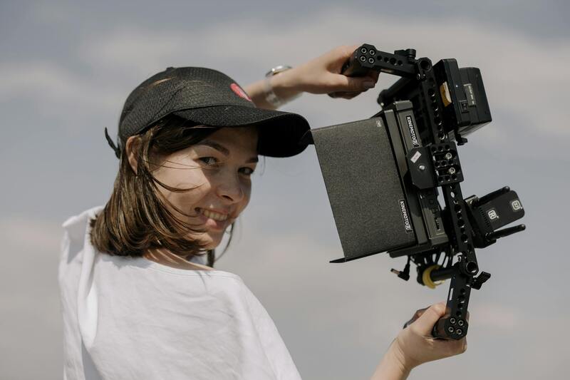
The foundation of high-quality aerial real estate photography lies in the selection of appropriate equipment and the mastery of effective techniques. Utilizing advanced drones equipped with high-resolution cameras is critical for capturing detailed, crisp images that truly showcase a property's features from the air. Modern unmanned aerial vehicles (UAVs) often feature stabilized gimbals, which are essential for maintaining camera stability during flight, resulting in sharp imagery regardless of wind conditions or minor turbulence.
When it comes to camera specifications, sensors with larger sizes—such as full-frame sensors—allow for better light capture and lower noise levels, enabling clear images even in challenging lighting conditions. High dynamic range (HDR) capabilities are also beneficial, allowing photographers to capture a range of exposures within a single shot to balance bright and shaded areas effectively.
Flying techniques involve meticulous pre-flight planning, where multiple flight paths are mapped out to cover various angles and perspectives of the property. Maintaining consistent altitude and flight speed ensures uniformity across images, which is especially crucial for creating seamless virtual tours or comprehensive property portfolios. Additionally, employing autonomous flight modes with waypoints or manual control ensures precision in framing and composition.
Choosing a Professional Aerial Photography Service in Miami
Securing high-quality aerial real estate images requires engaging with established service providers that demonstrate proven expertise in the field. When selecting an aerial photography team, assessing their portfolio is a crucial step. This portfolio should ideally showcase a variety of property types, including residential, commercial, and luxury estates, with images that highlight their technical proficiency and artistic composition. An extensive portfolio provides insight into the company’s ability to adapt to different property layouts, lighting conditions, and environmental challenges unique to Miami’s diverse landscape.
Beyond portfolio review, understanding service offerings helps clients align their expectations with what the provider can deliver. Reliable agencies typically offer comprehensive packages that include pre-shoot consultations, customized flight plans, and post-processing enhancements. Clear communication about deliverable timelines, image resolution, and licensing rights ensures transparency and minimizes potential misunderstandings.
In Miami’s vibrant real estate scene, choosing a service with familiarity of local airspace regulations, weather patterns, and flight permits is essential. Experienced providers track ongoing regulatory updates and maintain their certifications to ensure seamless operations. They often possess a fleet of advanced drones equipped with state-of-the-art stabilization systems and high-resolution cameras, facilitating sharp, vibrant imagery even in challenging conditions.
Cost structure and package customization are important considerations as well. Reputable firms provide transparent pricing models, often tiered based on shoot complexity, image quantity, and post-processing requirements. Some services also include options for virtual tours, 3D modeling, or twilight shots, offering clients a comprehensive visual presentation.
Ultimately, choosing a professional aerial real estate photography service in Miami hinges on a combination of technical capability, local knowledge, quality assurance, and personalized customer service. Engaging a provider with a solid reputation and proven track record ensures that property listings are supported by captivating images that resonate with potential clients, ultimately accelerating sales cycles and increasing market visibility.