Overview of Commercial Real Estate Drone Photography
Drone photography has rapidly transformed the landscape of commercial real estate marketing, offering a fresh perspective that surpasses traditional imaging methods. By harnessing advanced unmanned aerial vehicles (UAVs), professionals can capture high-resolution aerial views that showcase the full scope of commercial properties, from expansive office complexes to sprawling retail centers and industrial facilities. This technology enables real estate professionals to produce visually compelling content that highlights property layouts, surrounding infrastructure, and accessibility with unprecedented clarity and detail.
As digital marketing continues to evolve, the importance of innovative visual content becomes increasingly apparent. Drone photography provides a dynamic way to attract potential buyers, investors, and tenants by presenting properties in a manner that is both engaging and comprehensive. The versatility of drone footage—ranging from panoramic aerial shots to detailed close-ups—allows for tailored marketing materials that meet diverse client needs.

Implementing drone photography in the commercial real estate sector not only enhances promotional efforts but also provides valuable data for site analysis, construction monitoring, and infrastructural assessments. As the technology advances, the integration of 3D mapping and virtual tours is becoming more prevalent, further enriching the ways in which property portfolios are showcased and evaluated.
Legal and Regulatory Considerations in Miami
When executing commercial real estate drone photography in Miami, it is essential to adhere to the established regulatory framework that governs drone operations within the city and broader federal guidelines. Compliance begins with understanding the local airspace regulations, which coordinate with the Federal Aviation Administration (FAA) standards to ensure safe and lawful drone usage. Miami's bustling urban environment, with its dense air traffic, necessitates careful planning and coordination to avoid conflicts with manned aircraft, helicopters, and other air traffic. Drone operators must also be mindful of municipal ordinances that pertain to the operation of unmanned aerial vehicles (UAVs), especially in proximity to sensitive sites such as airports, government buildings, and private properties. One of the core aspects involves obtaining the necessary authorizations and certifications required for commercial drone flights. This includes securing a Part 107 remote pilot certificate, which demonstrates a professional understanding of drone operation, safety protocols, and airspace rules. Operators are required to maintain line-of-sight during flights, avoid flying over crowds or private properties without consent, and adhere to altitude restrictions to prevent interference with manned aircraft. In addition to FAA regulations, specific restrictions may apply within Miami’s urban zones, historic districts, and waterfront areas. These restrictions aim to protect public safety, preserve privacy rights, and safeguard cultural or environmentally sensitive sites. It is vital for drone professionals to conduct comprehensive site assessments prior to filming, ensuring compliance with all applicable policies, to avoid potential fines or operational delays. A crucial practice in commercial drone photography involves thorough pre-flight planning. This includes mapping safe flight zones, understanding wind conditions, and establishing emergency procedures. Experienced drone operators often coordinate with local authorities or property owners to obtain explicit permissions, especially when capturing images over private or restricted areas. This proactive approach not only fosters trust but also simplifies the operational process, reducing the risk of unforeseen legal complications. By maintaining operational transparency and keeping abreast of evolving regulations, professionals can confidently deliver high-quality aerial imagery that aligns with legal stipulations, ensuring smooth project execution and safeguarding their reputation within Miami’s competitive real estate market.
Legal and Regulatory Considerations in Miami
Adhering to established guidelines and official procedures is fundamental to executing effective commercial real estate drone photography in Miami. Before any aerial footage is captured, comprehensive planning is essential to ensure compliance with mandated operational standards. This involves obtaining necessary permits through appropriate channels, normally coordinated with local authorities or designated governing bodies overseeing airspace use. Securing these permissions prior to deployment not only facilitates smooth project execution but also demonstrates adherence to official protocols, which protects professionals from potential operational disruptions or reputational concerns.
Additionally, maintaining accurate documentation of flight plans, permits, and communications with authorities is a critical step. This record-keeping supports accountability and provides transparency in the event of any review or inquiry related to the drone operations. Not only does this practice reinforce adherence to official procedures, but it also enhances trustworthiness among clients and stakeholders invested in the project.
Operational safety is a cornerstone of compliant drone photography. This includes meticulous pre-flight risk assessments and establishing clear flight limits that respect property boundaries, airspace classifications, and privacy considerations. Experienced operators utilize official aviation charts, updated weather data, and approved no-fly zones to inform flight paths. Continuous monitoring during flights ensures immediate response capability in case of unforeseen circumstances, such as sudden weather changes or unexpected obstacles.
Particularly in Miami’s bustling urban settings, it remains essential to coordinate with local authorities or property owners for specific permissions when capturing images over private premises or sensitive sites. This proactive communication averts potential conflicts and fosters cooperative relationships that benefit ongoing and future projects. Prioritizing transparency and adherence to official procedures ultimately enhances the quality and reliability of the aerial imagery produced, making it a valuable asset for commercial real estate marketing and assessment.
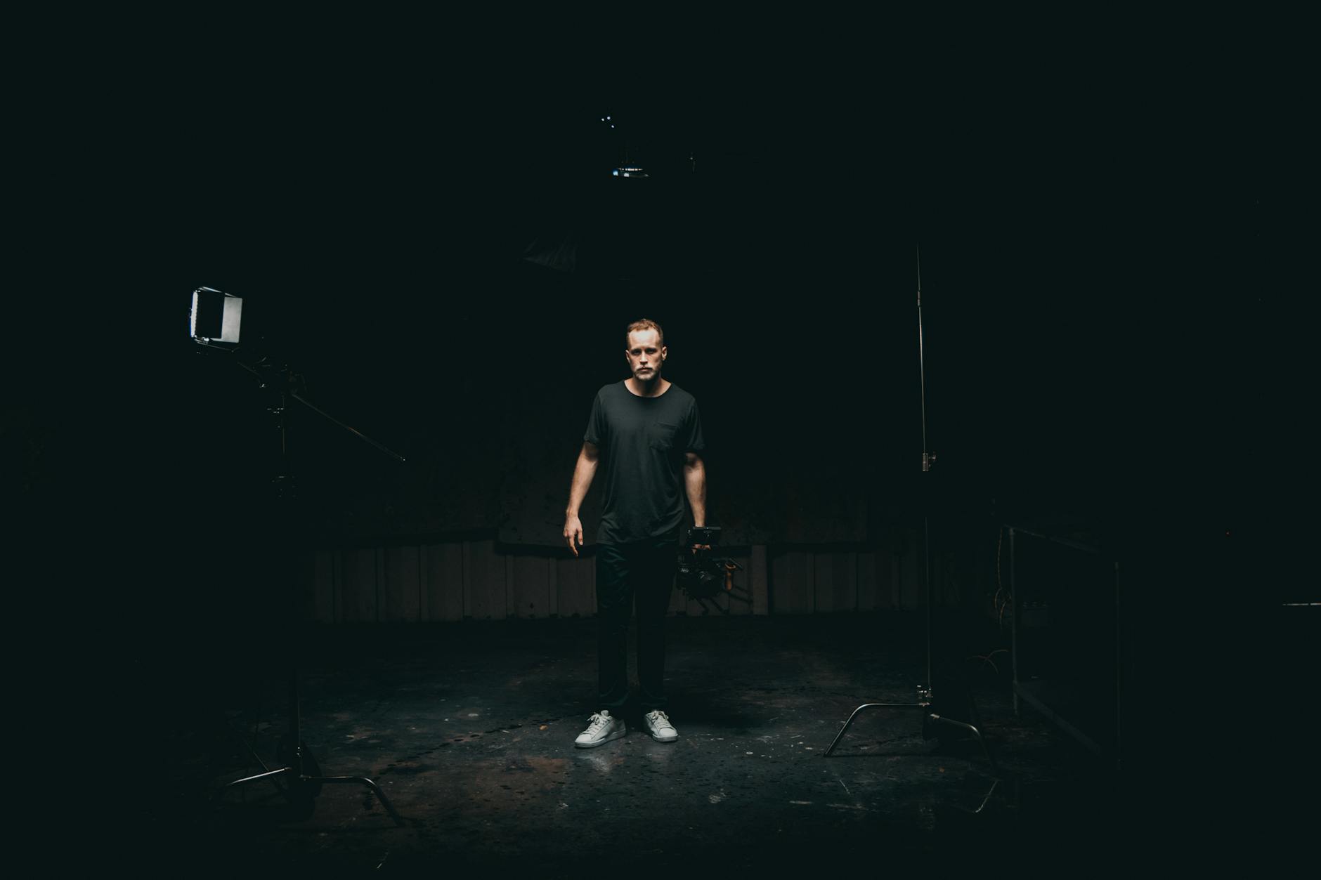
Operational Safety and Optimal Image Capture Strategies
Ensuring the safety and quality of aerial imagery involves meticulous preparation and execution. Before flights commence, comprehensive pre-flight planning includes analyzing airspace restrictions, weather conditions, and specific site features. Utilizing official aviation charts and real-time weather updates allows operators to identify safe flight corridors and avoid restricted zones. Establishing clear, predefined operating parameters minimizes risks and promotes smooth operations.
During flight, continuous monitoring is essential. Operators maintain visual line of sight with the drone, using onboard telemetry systems to track altitude, position, and battery status. This vigilance enables immediate response to evolving conditions, such as sudden gusts of wind or unexpected obstacles. For instance, in dense urban environments of Miami, urban structures and power lines pose challenges that necessitate precise navigational skills and real-time adjustments.
Choosing the right flight altitude and angles optimizes image quality and minimizes privacy concerns. Typically, commercial drone operators aim for altitudes that balance detailed visuals with overarching property views. Overhead shots at strategic angles capture the full scope of a property’s features, including roof condition, landscaping, and surrounding infrastructure.
Effective post-flight procedures include detailed data logging and review. Flight logs document timestamps, GPS coordinates, and environmental conditions, which can be valuable for post-project analysis or dispute resolution. High-resolution images and videos are securely stored and analyzed to create compelling visual narratives that highlight key property features.
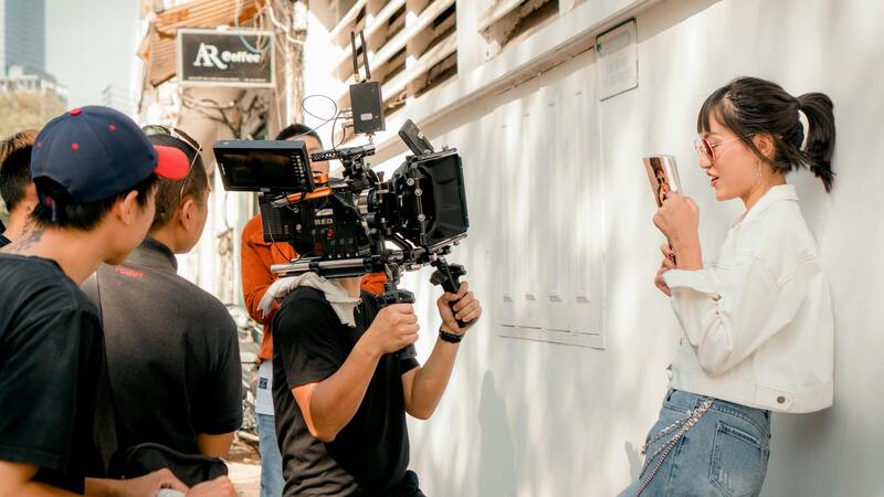
Technical Aspects for Superior Commercial Drone Imaging
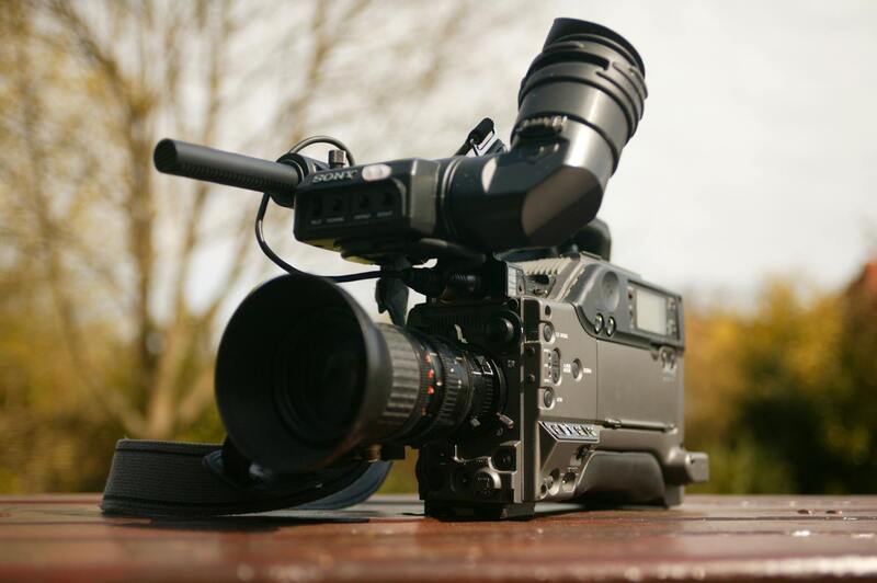
Utilizing the best equipment is fundamental to achieving professional-grade results. Industry-leading drones equipped with high-resolution cameras, such as those offering 4K or higher video capabilities and 20+ megapixel still photography, provide crisp, detailed visuals suitable for commercial use. Gimbal-stabilized camera systems eliminate motion blur and ensure consistent framing, even during dynamic flight maneuvers.
Rapidly advancing camera sensors with wide dynamic range enable capturing images in challenging lighting conditions, such as dawn or dusk, without loss of detail. ND filters help manage exposure levels, ensuring images are neither underexposed nor overexposed.
Shooting techniques, including golden hour capture, high vantage shots, and panoramic panoramas, enhance the appeal of property presentations. High-altitude shots showcase the spatial context of commercial developments, while close-up images detail specific features like signage, entrances, and landscaping.
Technical Best Practices for Commercial Drone Photography
Achieving high-quality aerial imagery in the commercial real estate sector hinges on utilizing advanced equipment coupled with refined techniques. Industry-standard drones equipped with integration features such as gimbal-stabilized cameras are essential for capturing sharp images and smooth videos of sprawling properties. These stabilization systems are particularly crucial when aerial shots require precise framing or when capturing dynamic scenes that involve movement or challenging weather conditions.
Moreover, choosing cameras with high resolution—typically 20 megapixels or more—and capabilities such as 4K or higher video resolution ensures that visual content maintains clarity and detail, which are critical in identifying key property features and appealing to prospective clients. Modern sensors with wide dynamic range enable capturing balanced exposures across varying lighting scenarios, from early morning dawn to late evening afterglow, ensuring that neither shadows nor highlights detract from the visual narrative.
In addition to hardware, specialized filters like ND (neutral density) filters help control exposure during bright daylight, preventing overexposure and preserving detail in both highlights and shadows. These technical refinements contribute to producing images that are both aesthetically compelling and suitable for professional marketing materials.
Capture strategies also include leveraging natural lighting conditions, such as golden hour photography, to generate warm, inviting images. High vantage points provide expansive views that showcase the spatial layout of commercial sites, while closer shots highlight specific features like signage, building facades, entrance areas, and landscaping details. Panoramic shots, stitched seamlessly, can offer comprehensive views of large-scale developments, giving potential investors and tenants a complete perspective of the property environment.
Dynamic flight planning, incorporating precise altitude control and movement patterns, ensures comprehensive coverage of the property from multiple angles. This approach not only aids in creating compelling visual stories but also assists in highlighting unique selling points that set the property apart in a competitive market.
Post-Production Enhancements for Commercial Visual Content
Editing plays a significant role in transforming raw drone footage into polished marketing assets. High-resolution images and videos undergo various post-production processes to enhance clarity, correct color balance, and optimize lighting, ensuring consistency across marketing channels. Adjustments to contrast, sharpness, and saturation can make visuals stand out without compromising authenticity.
Stitching panoramic scenes and integrating dynamic video transitions further enrich the viewer’s experience. Overlaying textual information or branding elements subtly enhances the professional presentation without distracting from the visual impact. These refined visuals are aligned with branding guidelines and marketing objectives, creating a cohesive and engaging narrative that appeals to prospective clients.
Ultimately, the combination of advanced equipment, strategic filming techniques, and meticulous editing ensures that commercial real estate drone photography meets the high standards expected in the real estate industry. Well-crafted visuals can significantly influence leasing decisions, investment interest, and overall property valuation, solidifying drone imagery as an indispensable element of modern commercial real estate marketing.
Legal and Regulatory Considerations in Miami
Operating commercial real estate drone photography in Miami requires adherence to specific guidelines and protocols designed to ensure safety, privacy, and professionalism. Ensuring compliance starts with understanding the official airspace regulations and obtaining necessary permissions prior to any aerial operation. While drone pilots are encouraged to maintain open communication with local authorities, they must also ensure that their flight plans are thoroughly documented, including altitude restrictions and designated flight zones.
It's essential to conduct thorough site assessments to identify potential obstacles such as tall structures, power lines, or restricted airspaces that could interfere with drone flights. Pre-flight planning involves not only mapping out safe routes but also establishing contingency protocols in case of unforeseen circumstances, such as sudden weather changes or equipment malfunctions. Working with licensed and experienced drone operators familiar with Miami's specific airspace conditions helps mitigate risks and ensure that operations are carried out professionally.
Maintaining operational safety also involves respecting privacy boundaries. This means avoiding capturing images or videos of private properties without prior consent, particularly in residential areas or properties with sensitive assets. Clear communication with property owners and stakeholders can help establish boundaries and prevent misunderstandings. Additionally, drone operators should stay updated with local ordinances and any temporary flight restrictions that may be issued during special events or emergencies.
Investing in comprehensive insurance coverage for drone operations can further safeguard against potential liabilities. This coverage typically includes damages caused by drone accidents or mishandling, providing peace of mind for both service providers and clients. Engaging with professional drone service companies that follow strict operational standards and maintain certifications ensures that every project complies with all relevant regulations and safety protocols. By prioritizing regulatory compliance and safety, filmmakers and marketers can leverage drone technology effectively while upholding ethical standards and safeguarding the interests of all stakeholders involved in Miami's vibrant commercial real estate market.
Integration of Drone Footage into Marketing Platforms
Successfully incorporating drone footage into a comprehensive marketing strategy requires a strategic approach that maximizes its visual impact. High-quality drone content can be shared across multiple channels including property websites, social media platforms, virtual tours, and presentation materials, thereby broadening the property's exposure. It is essential to customize content formats to suit each platform, ensuring they meet technical specifications such as aspect ratios and resolution requirements for optimal display.
Embedding drone videos within property listings allows potential investors and tenants to engage with the property remotely, gaining a comprehensive view from different angles and heights. Interactive virtual tours leveraging drone imagery can also enhance user experience by providing immersive walkthroughs that highlight key features and spatial relationships of commercial properties.
Moreover, integrating drone footage into email marketing campaigns and online ads amplifies outreach efforts, providing striking visuals that can capture attention swiftly. Utilizing analytics tools to track viewer engagement with drone content helps refine marketing strategies, ensuring that the most compelling visuals are prioritized for maximum impact. Consistent branding and professional editing further reinforce the quality and credibility of the marketing campaign, helping attract serious buyers and tenants.
Enhancing Property Presentations with 3D and Aerial Visuals
Combining drone footage with 3D mapping and aerial imaging can produce detailed, multi-dimensional presentations of commercial properties. These advanced visuals enable viewers to explore the property’s exterior environment, surrounding infrastructure, and access points in a virtual space, providing a holistic view that stationary images cannot deliver. This comprehensive representation not only appeals visually but also facilitates better decision-making by clients considering high-value investments.
Integrating these visuals into multimedia presentations and digital brochures creates a cohesive narrative that emphasizes the property’s strengths while supporting sales and leasing efforts. As virtual engagement continues to evolve, leveraging the latest drone imaging technology enables brokers and marketers in Miami’s competitive real estate landscape to stay ahead and showcase their offerings with unmatched clarity and professionalism.
Advanced Techniques and Best Practices in Commercial Real Estate Drone Photography
To achieve superior quality and impactful visuals for commercial properties, the application of advanced drone photography techniques is essential. Utilizing high-resolution cameras with professional-grade stabilization systems ensures sharp, clear imagery even in challenging flight conditions. Employing multi-angle capture strategies allows for comprehensive coverage of the property, highlighting architectural details, infrastructure, and surrounding landscape from various perspectives.
Smart flight planning is fundamental; this involves pre-mapping flight paths to optimize coverage and minimize redundant footage. Automated flight modes such as orbit, fixed-wing, and waypoint navigation enable precise and consistent shooting patterns, reducing human error and increasing efficiency. For properties with complex geometries or obstacle-dense environments, obstacle avoidance technology plays a crucial role in maintaining safety and shot integrity.
igure>
Post-flight, the process of high-quality editing and color correction is vital to enhance visual appeal and convey the property's best features. Advanced software allows for seamless stitching of panoramic views, HDR processing, and precise color grading, ensuring the final footage aligns with the branding and marketing goals. Incorporating motion stabilization and cinematic techniques further elevates the production value, making the visuals more immersive and engaging for potential clients.
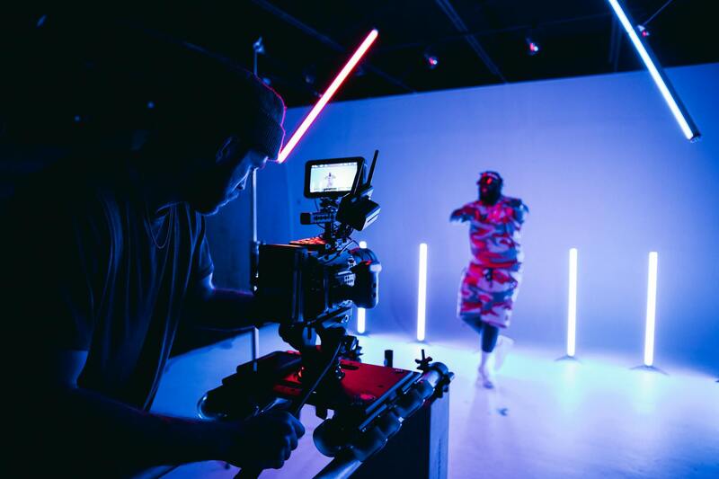
Deployment of Innovative Lighting Solutions and Time-Lapse Techniques
Utilizing lighting modifications, such as drone-mounted lights or strategic illumination timings, can enhance property features during dusk or nighttime shoots. Time-lapse sequences also provide dynamic perspectives of construction progress or daily activity within the site, adding compelling narrative elements to marketing materials.
Integration of 360-Degree and Live-Stream Content
Emerging practices include deploying 360-degree aerial captures and live streaming capabilities, offering interactive virtual tours and real-time property showcases. These immersive experiences can significantly increase engagement and provide prospective tenants or buyers with a thorough understanding of the property’s scale and environment, all from remote locations.
Data Management and Compliance in Miami's Commercial Real Estate Drone Sector
Implementing rigorous data management protocols ensures that all captured footage, maps, and related data are organized, securely stored, and readily accessible for marketing and analysis purposes. Maintaining a comprehensive record of flight logs, equipment usage, and image assets supports operational transparency and accountability, which are highly valued within the industry.
Adhering to established safety protocols, operational standards, and environmental considerations during drone flights in Miami ensures the sustainability and professionalism of your drone photography endeavors. Regular equipment calibration and ongoing training for drone operators contribute to consistent quality and safety assurance. By leveraging these advanced methods, real estate professionals can deliver sharply focused, aesthetically pleasing visuals that effectively communicate the property's value and unique features to prospective clients.