Overview of Drone Property Photography
Drone property photography has revolutionized the way real estate professionals showcase properties in Miami. This innovative technique involves the use of unmanned aerial vehicles (UAVs) equipped with high-resolution cameras to capture striking aerial views of properties and their surrounding landscapes. By providing a perspective that was previously challenging to obtain without helicopters or cranes, drone photography offers a comprehensive visual narrative that highlights a property’s unique features, layout, and environmental context.
In the dynamic Miami real estate market, where luxurious estates, waterfront properties, and expansive commercial sites are prevalent, captivating images are essential for attracting potential buyers. Drone photography enhances listings by delivering immersive, high-definition visuals that stand out amidst numerous advertisements. These images can portray the full extent of a property, including outdoor amenities, landscaping, proximity to beaches or parks, and overall neighborhood ambiance, giving prospective buyers a clear, compelling view of what each property offers.
As technology advances and the demand for high-quality visual content continues to grow, drone property photography has become an integral component of modern real estate marketing strategies in Miami. It allows agents, brokers, and developers to present listings in a visually engaging manner that appeals to the increasing number of buyers who prioritize high-resolution images and immersive digital tours.
Adopting drone property photography not only enhances the aesthetic appeal of listings but also provides a competitive edge in a bustling market. The ability to deliver detailed aerial footage supports more informed decision-making for buyers and facilitates faster sales cycles for sellers, making it a vital tool in the Miami real estate landscape.
Legal and Safety Considerations in Miami
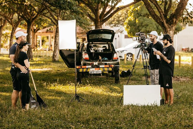
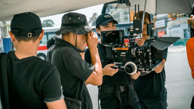
In the evolving landscape of drone property photography, adhering to established standards for safety and operational procedures is essential. While the focus remains on capturing stunning aerial visuals, professional operators implement comprehensive flight planning that includes assessing wind conditions, avoiding restricted zones, and ensuring no interference with manned aircraft or sensitive areas such as hospitals, schools, and government buildings. Such measures help preserve the safety of both the drone operator and nearby pedestrians or property.
Before conducting drone flights, operators utilize detailed topographical maps and weather forecasts to determine optimal flying conditions, reducing risks associated with adverse weather. They also establish line-of-sight procedures, maintaining clear visual contact with the drone at all times to facilitate precise maneuvering and immediate response to unforeseen obstacles.
Furthermore, professional drone services in Miami follow established operational protocols, including pre-flight inspections to check the drone's technical integrity, calibration of the camera systems, and proper battery management. These practices contribute to exceptional image quality while minimizing the possibility of in-flight malfunctions.
Airspace Regulations and Permits
Employing compliant methods involves understanding Miami's specific airspace guidelines and obtaining necessary permissions when flying in certain zones, especially those near airports or designated flight-restricted areas. Certified drone operators familiarize themselves with temporary flight restrictions (TFRs) and schedules that might affect their ability to operate legally in particular regions.
In some cases, permits from relevant authorities might be required, particularly for large-scale commercial shoots or flights over sensitive sites. These official documents ensure smooth operations and protect all parties involved from potential complications.
Risk Management Strategies
Proactive risk management encompasses establishing no-fly zones around sensitive locations, setting flight altitude limits, and using geofencing technology that prevents drones from entering restricted airspace. Professionals also carry contingency plans, including emergency landing procedures and clear communication channels with local authorities, to respond effectively to unexpected situations.
By strictly adhering to these safety and operational standards, drone property photography services in Miami maintain high-quality production while prioritizing public safety and environmental stewardship.
Legal and Safety Considerations in Miami
Operating a drone for property photography in Miami requires adherence to established standards that ensure safe and efficient flights. Professionals in this field utilize comprehensive safety protocols, including pre-flight risk assessments and systematic flight planning. Ensuring that drone operations do not interfere with manned aircraft or infringe upon restricted zones is vital for maintaining smooth operations.
Sound operational planning involves meticulous site assessments to identify potential hazards such as power lines, tall trees, and busy public spaces. Advanced flight planning tools and software assist operators in mapping out safe flight paths, avoiding obstacles, and optimizing camera angles to capture the property's best features without compromising safety.
Operators also implement takeoff and landing procedures that minimize risks, often selecting open, unobstructed areas or designated landing zones designed for drone operations. Regular equipment maintenance and pre-flight system checks help prevent mechanical failures that could lead to accidents.
Furthermore, maintaining open communication with local authorities and emergency services is part of standard safety practices. This coordination facilitates quick responses to unforeseen incidents and reinforces the responsible conduct of drone operations. These measures collectively support the provision of high-quality imagery while upholding the safety standards expected in Miami's diverse urban landscape.
Official Documentation and Certification
For professional drone operators, acquiring official certification demonstrates expertise and a thorough understanding of operation standards. Certification often involves rigorous training in flight safety, airspace management, and emergency procedures. This credentialing process helps establish trust with clients and local communities alike.
In cases where special permissions are needed—such as for flights over private property or near critical infrastructure—detailed notification and approval processes are in place. Documented approvals from local aviation authorities or municipal agencies ensure that drone flights occur within the boundaries of official guidelines, preventing disruptions and supporting lawful operations.
This structured approach to documentation and certification not only aligns with best practices for aerial filming but also reassures clients about the compliance and professionalism of the service provider. Clients can trust that their property will be captured with the highest standards of safety and regulatory adherence, ensuring a seamless experience from planning to execution.
Technical Aspects of Drone Photography
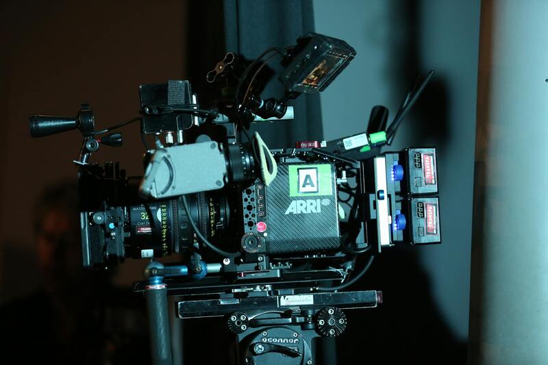
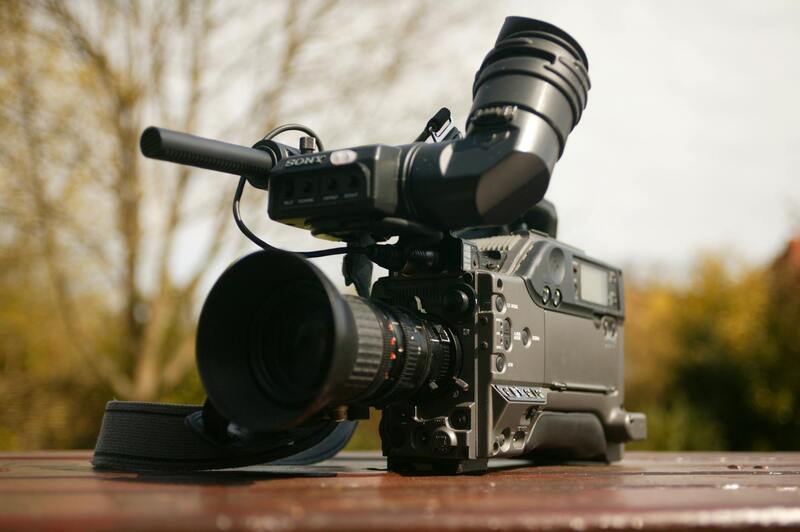
To maximize the quality and effectiveness of drone property photography, understanding the technical components involved is essential. This encompasses selecting appropriate drone types, utilizing advanced camera equipment, applying efficient flight techniques, and mastering editing practices. Each element plays a crucial role in producing high-resolution imagery that highlights the property's best features and supports compelling marketing efforts.
Drone Types Suitable for Property Photography
Professional-grade drones designed for aerial photography are equipped with stabilized gimbal systems that ensure smooth footage and sharp images. Multirotor models are common for their maneuverability and ability to hover precisely, making them ideal for capturing detailed shots of residential and commercial properties. Fixed-wing drones, while less common in urban settings, can cover larger areas swiftly when required, offering efficiency for extensive property portfolios.
Camera Equipment and Specifications
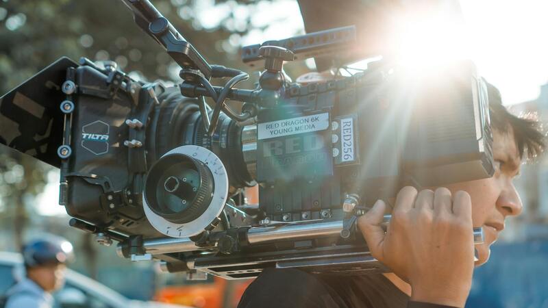
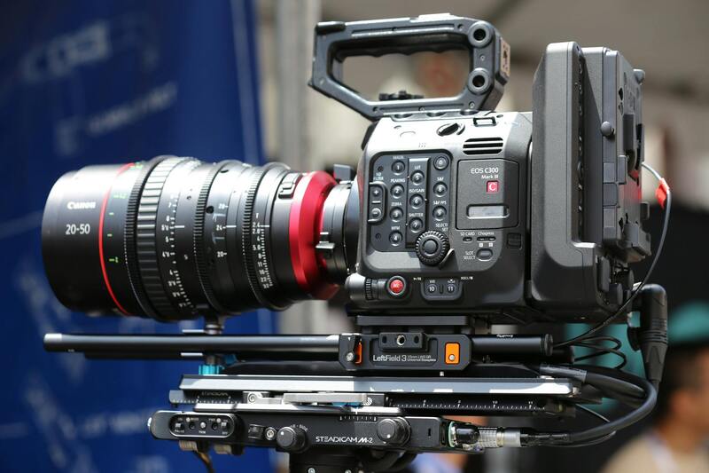
The quality of aerial images heavily depends on the camera hardware integrated into the drone system. High-resolution sensors, often ranging from 12MP to 45MP, enable the capture of detailed images suitable for both print and digital marketing. Camera features like wide-angle lenses, adjustable aperture, and sensor stabilization contribute to clear, vibrant visuals. Using drone platforms with interchangeable lenses allows for customized shots that cater to specific property features or client preferences.
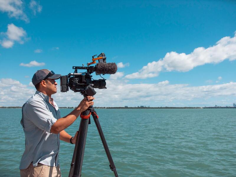
Flight Techniques for Optimal Imagery
Implementing precise flight paths and altitude control ensures comprehensive coverage of the property while avoiding obstructions. Planning flight routes ahead of time helps manage wind conditions and lighting to achieve consistent results. Utilizing slow, controlled maneuvers reduces vibrations and motion blur, resulting in crisp images. Additionally, capturing images during optimal lighting conditions, such as early morning or late afternoon, enhances the visual appeal by leveraging natural sunlight and shadows to add depth and dimension.
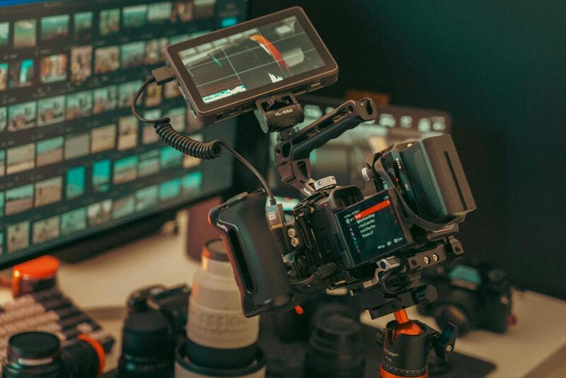
Post-Processing and Editing Practices
Raw aerial footage and images undergo editing to meet professional standards. Adjustments in brightness, contrast, and color balance bring out the property's features more vividly. Stitching multiple images into comprehensive panoramas or 3D models opens new avenues for property visualization. Advanced editing software allows for meticulous enhancements, ensuring the final images align with marketing objectives and showcase the property at its best.
Overview of Drone Property Photography
Drone property photography encompasses the strategic use of unmanned aerial vehicles (UAVs) equipped with high-resolution cameras to capture comprehensive visual representations of real estate properties. This innovative approach enables the creation of dynamic, high-quality imagery that offers prospective buyers an expansive view of the property’s exterior features and surrounding environment. By leveraging the vantage point provided by drones, real estate professionals can showcase properties from unique angles, revealing architectural details, landscaping, and neighborhood context that traditional ground-level photography might miss. This method not only enhances visual storytelling but also provides a competitive edge in the crowded property market, making listings more engaging and informative for potential buyers.
Advantages of Using Drones for Property Photography
Integrating drones into real estate marketing strategies offers several notable benefits:
- Enhanced Visual Appeal – Aerial shots provide a captivating perspective that highlights property size, outdoor features such as pools, gardens, and patios, and the relationship with neighborhood surroundings, making listings more attractive.
- Comprehensive Property Coverage – Drones can access hard-to-reach areas, allowing for detailed images of rooftops, landscapes, and fencing, which are often overlooked in standard photography.
- Time Efficiency – Drone flights can quickly capture multiple angles and complete property overviews, reducing the need for extensive ground photography sessions.
- Cost-Effectiveness – Compared to traditional aerial methods such as helicopter photography, drones provide high-quality results at a fraction of the cost and logistical effort.
- Versatility in Content Creation – Drones facilitate the production of dynamic videos, 360-degree panoramas, and virtual tours, enriching the marketing materials available to potential buyers.
Technical Aspects of Drone Photography
Achieving exceptional image quality and visibility in drone property photography relies on proper technical execution. This includes selecting drones equipped with advanced stabilization systems, such as gimbal stabilizers, and high-resolution sensors capable of capturing detailed imagery during varied lighting conditions. Adjustments in camera settings, like aperture and ISO, tailored to environmental lighting, contribute to crisp, vibrant visuals. The use of interchangeable lenses enables customization of shots to emphasize specific property features or accommodate different property sizes and styles.
Flight Techniques for Optimal Imagery
Executing precise flight paths and maintaining altitude control are critical in producing consistent, high-quality images. Pre-planned routes allow operators to systematically cover the property, ensuring no important features are missed while avoiding obstacles such as trees, utility lines, and neighboring structures. Adjusting flight altitude can highlight different facets of the property—from close-up shots of architectural details to wide-angle panoramas of the entire estate. Utilizing slow, controlled maneuvers helps minimize vibrations that cause image blur. Timing flights during periods of favorable natural lighting, at dawn or dusk, enhances shadows and depth, resulting in more visually compelling visuals.
Post-Processing and Editing Practices
Raw images and footage gathered through drone flights undergo meticulous editing to meet professional standards. Techniques include color correction, brightness and contrast adjustments, and noise reduction to optimize clarity. Stitching multiple images creates high-resolution panoramas and 3D models that provide immersive experiences for prospective buyers. Advanced editing software allows for the removal of minor imperfections, enhancing aesthetic appeal while maintaining authenticity. These polished visuals are essential in attracting interest and conveying the property’s true potential effectively.
Technical Aspects of Drone Photography
Achieving high-quality drone property imagery requires a comprehensive understanding of both drone operation and photographic techniques. The selection of the right drone model is pivotal; professional-grade unmanned aerial vehicles (UAVs) equipped with high-resolution cameras, GPS stabilization, and adjustable gimbal systems lead to superior visual outputs. The stability provided by advanced gimbal systems minimizes vibrations and ensures sharp images even during movement, which is crucial when capturing detailed architectural features or expansive landscapes.
Optimal camera settings are essential in capturing compelling visuals. This includes adjusting ISO, shutter speed, and aperture to adapt to lighting conditions and achieve the desired depth of field. For instance, shooting during the golden hour—shortly after sunrise or before sunset—maximizes natural lighting, creating warm, inviting images that evoke emotional responses from viewers.
Planning flight paths is a critical component of technical preparation. Pre-programmed flight routes ensure consistent coverage and help maintain safe distances from obstacles like trees, power lines, or neighboring properties. Flight altitude adjustments enable the capture of different perspectives—for example, aerial views emphasizing the property's size or close-up shots highlighting architectural details.
Maintaining optimal flight conditions is also a key aspect. Wind speed, precipitation, and ambient light influence drone stability and image quality. Scheduled flights during calm weather conditions prevent vibrations and drone drift, leading to sharper images. Implementing redundant safety protocols, such as battery checks and pre-flight inspections, ensures a smooth shooting process and minimizes the risk of operational interruptions.
Technical Aspects of Drone Photography
When conducting drone property photography, a thorough understanding of technical considerations ensures high-quality, impactful visuals. Professional drone operators utilize advanced equipment equipped with high-resolution cameras capable of capturing detailed images that highlight both the structure and surrounding landscapes of a property.
One of the primary technical factors is camera setup. Adjusting camera parameters such as ISO, shutter speed, and aperture is critical to adapting to varying lighting conditions. For example, daytime shooting benefits from lower ISO settings to reduce noise, while shooting during early morning or late afternoon allows capturing warm, golden light that enhances property appeal.
Flight planning is another technical cornerstone. Pre-programming flight paths using sophisticated software ensures comprehensive coverage of the property without overlaps or missed areas. These routes are designed to adhere to specific altitudes—ranging from high-altitude shots that showcase entire estates to closer angles that emphasize detailed architectural features. By maintaining consistent altitude and angle, the images achieve a uniform aesthetic that enhances marketing efforts.
Stability during flight is imperative for capturing sharp images. Utilizing drones equipped with gimbal stabilization technology minimizes vibrations and compensates for minor wind disturbances. This stabilization allows for steady shots, even during complex maneuvers or when capturing intricate architectural details.
Environmental conditions also influence image quality. Optimal shooting occurs during calm weather when wind speeds are low, and visibility is clear. Avoiding adverse weather such as rain or fog prevents drone instability and ensures the safety of equipment and personnel. Temperature considerations, especially in warmer climates like Miami, also affect battery life and drone performance, making pre-flight checks vital for successful operations.
Furthermore, post-flight processing plays a role in delivering polished images. Raw footage is often enhanced with professional editing software to adjust lighting, color balance, and sharpness, producing compelling visuals that effectively showcase the property's best features.
Overall, mastering these technical aspects is essential for producing high-quality drone property photography that captivates potential buyers and maximizes marketing impact. Skilled operators combine precise flight planning, camera settings, and environmental awareness to deliver images that truly stand out in the competitive Miami real estate market.
Technical Aspects of Drone Photography
To achieve stunning aerial images of properties, understanding and optimizing the technical elements of drone operation are essential. Proper camera settings, flight planning, and environmental awareness contribute significantly to the quality of the final visuals.
Camera Settings and Equipment
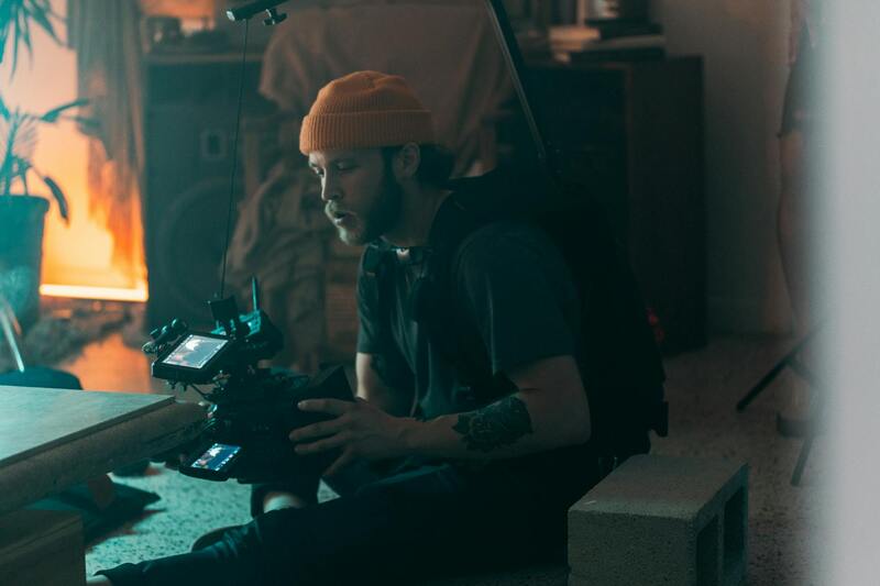
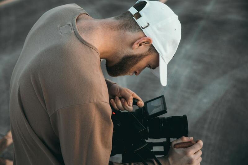
Utilizing drones equipped with high-resolution cameras ensures detailed and vibrant imagery. Adjustments to ISO, shutter speed, and aperture are crucial for capturing well-lit shots that highlight architectural features and landscape elements. Many professional drones come with interchangeable lenses, allowing for versatility in framing wide-angle or zoomed-in views depending on the property’s unique features.
Gimbal stabilization is another key component, which secures the camera and counters vibrations during flight. This technology ensures that images remain sharp, even when maneuvering around complex structures or in areas affected by wind. Calibration and pre-flight checks of camera settings are routines that enhance image consistency and quality.
Flight Planning and Execution
Meticulous flight planning involves selecting optimal flight paths, altitudes, and angles to maximize the property's visual appeal. Pre-mission mapping and environmental assessments help identify potential obstacles and weather conditions that could impact drone stability or safety.
During operation, maintaining steady hover points and smooth transitions between shots results in professional-grade footage. Skilled pilots control the drone with precision, adjusting for wind or other environmental factors that could disrupt flight stability.
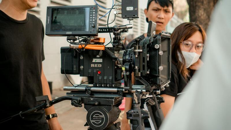
Post-Processing Enhancements
After capturing the footage, editing plays a vital role in elevating the visual quality. Adjustments in lighting, contrast, and color grading are made to enhance the overall aesthetic and highlight the property's best attributes. Techniques such as stabilization correction, color correction, and noise reduction refine raw footage into compelling marketing material.
Employing professional editing software ensures consistency across images and helps produce promotional content that captivates potential clients. High-quality visuals generated through these technical practices significantly increase the property's attractiveness and competitive edge.