Overview of Drone Photography in Real Estate
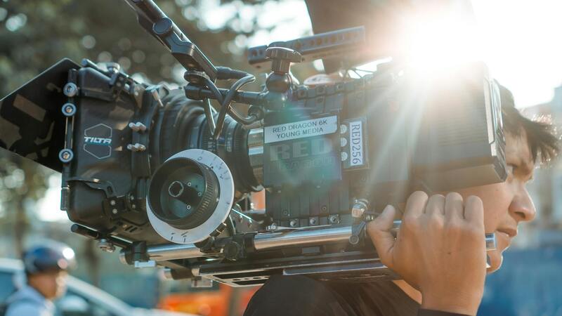
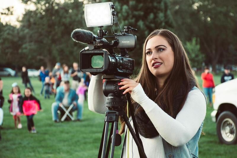
In the contemporary real estate market, visual content plays a pivotal role in attracting potential buyers and effectively showcasing properties. Drone realty photography has emerged as an indispensable tool for real estate professionals seeking to elevate their property marketing strategies. Utilizing unmanned aerial vehicles equipped with high-resolution cameras, drone photography offers unique perspectives that traditional ground-based images cannot achieve. This technology allows for capturing expansive views of a property's exterior, surrounding landscape, and neighborhood ambiance, creating a compelling visual narrative that resonates with prospective buyers.
The primary advantage of integrating drone imagery into real estate listings is its ability to provide a comprehensive view of a property within its context. Aerial shots highlight the property’s size, layout, and outdoor amenities such as pools, gardens, or outdoor entertainment areas. Such visuals are particularly influential in differentiating listings in competitive markets like Miami, where luxurious properties often feature extensive outdoor spaces and scenic surroundings. Drone footage also enhances virtual tours, enabling potential buyers to gain a deeper understanding of the property's spatial relationships and overall appeal without visiting in person.
Integrating drone photography into real estate marketing campaigns increases engagement on listing platforms and social media, as visually striking content tends to generate higher click-through rates. Moreover, drone images can be seamlessly incorporated into various marketing materials like brochures, virtual walkthroughs, and videos, providing a consistent and professional brand image. The evolution of drone technology continues to refine the quality and capabilities of aerial imagery, making it an ever more valuable asset for real estate professionals aiming to showcase properties effectively in the digital age.
Legal Regulations and Permits for Aerial Photography in Miami
Operating drone technology for real estate photography in Miami requires adherence to established procedures designed to ensure safe and responsible usage. Professionals involved in drone realty photography must secure appropriate permissions and adhere to operational guidelines prescribed by relevant local authorities. This process encompasses obtaining specific authorizations to ensure that drone flights are conducted within designated parameters, mitigating potential conflicts with other airspace users and ensuring safety for the public.
In Miami, agencies responsible for managing aerial operations require drone operators to apply for permits that specify flight requirements, geographical boundaries, and operational altitudes. These permits often necessitate detailed flight plans and proof of insurance coverage, which underscores the professionalism and accountability of the service providers. It is essential for drone operators to demonstrate proficiency in handling unmanned aerial systems and to maintain updated licensing credentials, reflecting their commitment to high standards of safety and quality.
Additionally, Miami has specific restrictions regarding flight zones, especially around sensitive areas such as airports, government buildings, and densely populated districts. Identifying no-fly zones and planning flight paths in compliance with local airspace regulations helps avoid disruptions and ensures smooth execution of aerial shoots. Drone operators must also adhere to federal regulations that oversee commercial UAV operations, which include rules about altitude, visibility, and flying distances from structures and people.
Most professional drone realty photography companies in Miami follow a comprehensive process to secure the necessary authorizations before scheduling a shoot. This often involves collaborating with local authorities to verify that all legal requirements are met, including applying for drone flight permits through federal and municipal channels. Such meticulous planning not only ensures compliance but also enhances the credibility and reliability of the service provider, giving clients confidence in the quality and legality of their visual marketing assets.
Investing in certified drone operators equipped with the necessary permits safeguards the integrity of real estate marketing campaigns and helps maintain a reputable professional image. As drone technology advances, regulatory frameworks evolve correspondingly, emphasizing the importance of ongoing compliance and active engagement with legal updates. With the appropriate permits in place, real estate professionals can confidently leverage aerial photography to showcase Miami properties, highlighting their unique features and striking locations while upholding high standards of safety and responsibility.
Types of Drone Shots Used in Realty Photography
In the realm of drone realty photography, selecting the appropriate shot types is crucial for creating compelling visual narratives that accurately showcase a property’s appeal. Different aerial perspectives serve specific marketing purposes, highlighting key features and the overall layout of the property and its surroundings.
Common types of drone shots include:
- Wide-Angle Shots: These capture the entire property within the frame, providing viewers with a comprehensive view of the estate, grounds, and adjacent areas. Such images are vital for establishing context and scale.
- Top-Down or Bird’s Eye Views: Directly overhead shots reveal the property’s footprint, landscaping design, and nearby amenities, making them ideal for illustrating spatial relationships and the property's integration within its environment.
- Front and Rear Facade Shots: Elevated angles focused on the front or back of the property help highlight architectural features, entrances, and outdoor living spaces, enhancing curb appeal.
- Aerial Walkthroughs: Dynamic fly-through videos simulate walking through the property, allowing potential buyers to experience the layout and flow of the interior and exterior spaces seamlessly.
- Close-Up Exterior Shots: Close captures of unique architectural details, landscaping features, or outdoor amenities like pools and patios can be emphasized with drone positioning to add visual interest.
- Dusk or Dawn Shots: Shooting during golden hours produces warm lighting and dramatic shadows, transforming the visual impact of the property and emphasizing its best features in varying lighting conditions.
Each shot type serves a specific role within a comprehensive marketing strategy, enabling real estate professionals to craft engaging visual content that captures the attention of prospective buyers. Combining various aerial perspectives and shot angles enhances the overall presentation, ensuring that listings stand out in the competitive Miami real estate market.
Legal Regulations and Permits for Aerial Photography in Miami
Engaging in drone realty photography within Miami requires adherence to specific operational standards designed to ensure safety and professionalism. Authorized drone pilots are responsible for obtaining necessary permits before conducting aerial shoots, particularly in densely populated or restricted zones. Typically, this involves coordinating with local aviation authorities and adhering to designated flight paths and altitude restrictions to prevent interference with manned aircraft and other aerial activities.
Operators must also consider restrictions related to privacy and property access. Securing explicit permissions from property owners or relevant authorities safeguards against potential disputes and aligns with established practices for legitimate aerial imaging. Utilizing approved drone platforms equipped with geofencing technology helps pilots observe no-fly zones, such as near airports, government buildings, and other protected areas.
Furthermore, ongoing compliance with operation standards includes conducting pre-flight assessments, implementing safety protocols, and maintaining detailed flight logs. Certified drone operators often possess aerial certification or license that verifies their proficiency in handling unmanned aerial systems responsibly. This certification process involves rigorous training in flight mechanics, safety procedures, and understanding the local regulatory landscape, equipping professionals to execute high-quality real estate photography smoothly.
In Miami, specialized agencies or licensed professionals routinely coordinate permits and ensure all legal documentation is in place prior to a shoot. This collaborative approach guarantees that the aerial imagery captured aligns with regional guidelines, providing peace of mind for real estate agencies and property owners. It also minimizes operational delays and mitigates potential conflicts arising from unapproved drone use.
Types of Drone Shots Used in Realty Photography
In the realm of drone realty photography, capturing the property from various angles and perspectives is essential for creating compelling listings that attract potential buyers. Fastidious selection of shot types showcases the property's unique features, surrounding environment, and accessibility, providing viewers with a comprehensive understanding of the property’s value.
Key drone shot types include:
- Elevated Aerial Shots: These shots are taken from high altitudes, offering expansive views of the property and its context within the neighborhood. They emphasize property size, landscape, and proximity to amenities, helping buyers visualize the community layout.
- Panoramic Views: Using panoramic techniques, these captures encompass a wide field of view, delivering immersive vistas of the property’s surroundings. This is especially effective for properties with scenic features, such as waterfronts or mountain views.
- Property Boundary Shots: Focused images that clearly define the property’s perimeter, including fencing or natural boundaries. These images clarify the extent of the property and assist in setting accurate expectations.
- Entryway and Driveway Perspectives: Ground-to-air shots of entrances and pathways create inviting visuals that highlight curb appeal. They also demonstrate ease of access and external aesthetics, crucial factors for potential buyers.
- Specific Feature Shots: Targeted captures of noteworthy elements like pools, gardens, outdoor kitchens, or unique architectural features. These images can be integrated into marketing materials to accentuate the property’s highlights.
- Interior-Exterior Transitions: Seamless shots that blend indoor spaces with outdoor views, portraying the accessibility and lifestyle potential of the property. They are invaluable for showcasing luxurious outdoor living areas.
Types of Drone Shots Used in Realty Photography
In the realm of drone realty photography, a variety of shot types are employed to showcase properties in their best light. Each shot type serves a unique purpose, allowing real estate professionals to highlight key features, property size, and surrounding landscapes effectively. Understanding these shot types can significantly enhance the visual storytelling of property listings, ultimately attracting more potential buyers.
Aerial Exterior Shots
These shots provide a comprehensive view of the property's exterior from an elevated perspective. They typically include front facades, backyard layouts, and overall property footprint. Such images help viewers understand the property's scale, spatial relationships, and outdoor amenities like pools, patios, or gardens.
Property Boundary and Perimeter Shots
Clear visuals delineating the boundaries of the property are crucial for setting accurate expectations. These photographs often feature fencing, natural borders, or landmark markers, giving potential buyers a sense of scope and privacy considerations.
Panoramic and Wide-Angle Shots
Using panoramic techniques, these shots capture expansive views that encompass the entire property and its environment. When properties are located near scenic features such as waterfronts, parks, or mountains, panoramic images convey a sense of space and natural beauty that resonates strongly with prospective buyers.
Entryway and Driveway Perspectives
Ground-level shots focused on the entrance or driveway create inviting visuals that enhance curb appeal. They also highlight accessibility, welcoming potential owners to imagine themselves arriving at the property. These images are often combined with aerial shots to create a full picture of the property's external accessibility.
Interior-Exterior Transition Shots
These composite images demonstrate the flow between indoor and outdoor spaces. Highlights include large windows, sliding doors, or patios that seamlessly connect interior living areas with outdoor amenities. Such shots emphasize lifestyle qualities that appeal to modern homebuyers seeking versatile living environments.
Specific Feature Focus Shots
Drone technology also enables close-up, targeted captures of distinctive features such as a rooftop terrace, outdoor kitchen, swimming pool, or architectural accents. These detailed shots draw attention to unique selling points, making listings more compelling.
Implementing a Strategic Shot Plan
To maximize the impact of drone imagery, a strategic approach should be developed. This includes pre-visualizing key angles, considering the property’s topography, and aligning shot types with marketing objectives. Collaborating closely with experienced drone operators ensures that each shot aligns with best practices, capturing the property's essence without unnecessary complexity.
Advanced Techniques for Drone Realty Photography in Miami
Building upon foundational drone photography methods, advanced techniques elevate the visual storytelling of Miami real estate listings, attracting more prospective buyers and providing a comprehensive view of each property. Precision in aerial framing, creative camera angles, and seamless integration with ground-level imagery can significantly enhance the overall presentation, making properties stand out in a competitive market.
Utilization of 3D Mapping and High-Resolution Imagery
One of the key advancements in drone realty photography involves capturing high-resolution images that facilitate the creation of detailed 3D models. These technologies allow viewers to virtually explore a property from different vantage points, emphasizing spatial relationships, layout configurations, and surrounding features. When accurately executed, such visuals deliver an immersive experience, providing potential buyers with a sense of scale and flow that traditional photography cannot match.
Panoramic and 360-Degree Views
Implementing panoramic and 360-degree shots affords a more comprehensive understanding of a property's external environment. These wide-angle captures are particularly effective in Miami, where scenic landscapes, waterfront views, and lush landscaping are integral selling points. Panoramic images can be seamlessly integrated into virtual tours or online listings, enhancing viewer engagement and prolonging interest.
Automated Flight Paths and Dynamic Shots
Modern drone technology supports programmed flight paths that ensure consistent coverage of the property and its surroundings. This approach enables the creation of dynamic footage that transitions smoothly between different angles, highlighting both the grandeur and intricate details of a property. For example, gradual elevation shots can reveal the property’s scale while maintaining focus on key features such as outdoor amenities or architectural elements.
Integration with Aerial and Ground-Level Media
Combining aerial drone footage with ground-level and interior visuals provides a layered storytelling approach. This integrated method allows potential buyers to visualize the property's exterior, interior, and overall environment comprehensively. Strategic sequencing of shots can showcase flow, connectivity, and unique selling features, delivering a polished, professional presentation that resonates with discerning clients.
Data-Driven Asset Management and Marketing Optimization
Advanced drone data collection also supports marketing analytics, helping agents assess how different visuals perform across various platforms. High-quality imagery and footage can be tailored to specific audiences, ensuring marketing efforts are optimized for maximum impact. This process involves meticulous planning and execution, aligning visual storytelling with market trends and buyer preferences in Miami's dynamic real estate landscape.
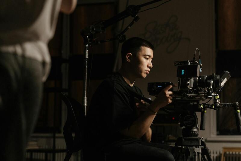
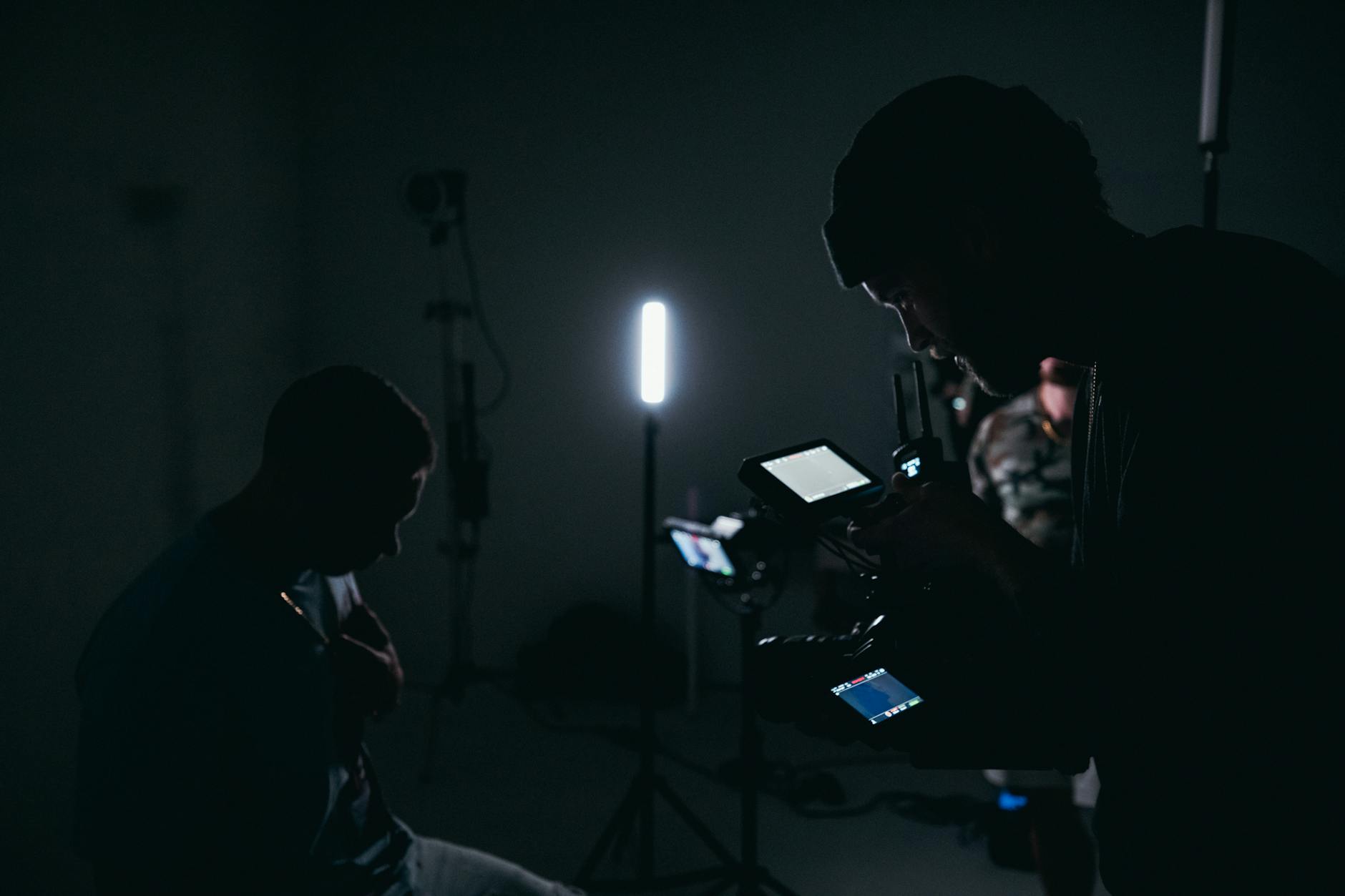
Advanced Editing and Post-Production Techniques in Drone Realty Photography
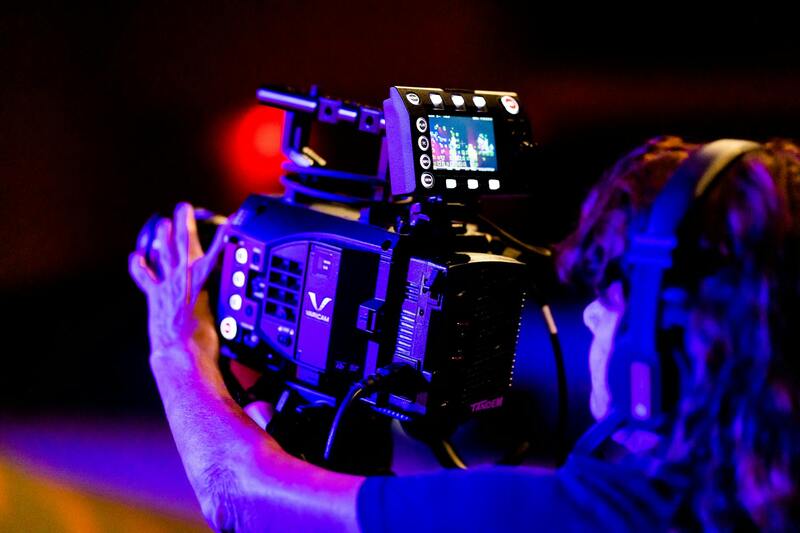
Once the raw drone footage is captured, the post-production process begins, transforming terrestrial captures into compelling visual stories that captivate potential buyers and elevate property listings. Professional editing techniques are essential to maximize the visual appeal, ensure consistency, and optimize footage for various marketing channels.
Color Grading and Image Enhancement
Color grading is a pivotal step in drone realty photography, refining the overall look of aerial shots to highlight architectural features and landscaping. Adjustments to contrast, saturation, and luminance can make a property appear more vibrant and inviting. Enhancing natural light and shadow details amplifies the sense of depth, giving potential clients a clearer understanding of the property's scale and ambiance.
Stabilization and Frame Optimization
Post-production often involves stabilization to smooth out any shakiness during capture, ensuring cinematic-quality footage. Frame optimization focuses on cropping, aspect ratio adjustments, and eliminating distractions from the shot, helping to direct viewer attention precisely where intended. This process is vital in creating seamless, professional-looking videos that resonate with high-end real estate markets like Miami.
Creation of Virtual Tours and 3D Models
Advanced editing incorporates the development of virtual tours and three-dimensional models derived from drone footage. These immersive experiences enable prospective buyers to virtually explore both the exterior and interior of the property, providing an engaging, detailed view that surpasses static images. Integrating drone footage into virtual walk-throughs increases engagement and attracts remote buyers who cannot visit the property in person.
 igure>
Sound Design and Branding Elements
Adding strategic soundtracks or voice-over narration during editing enhances the emotional appeal and delivers a cohesive narrative. Including branding elements like logos or contact information ensures consistency across marketing assets, boosting brand recognition among prospective buyers and real estate partners.
Delivery and Optimization for Multiple Platforms
Finalized footage is formatted for optimal viewing across various digital platforms, including property listing websites, social media channels, and virtual tour portals. Compressing files without compromising image quality ensures quick loading times and smooth playback, reaching a broader audience effectively. Tailoring content for specific formats, such as Instagram reels or YouTube videos, amplifies reach and engagement.
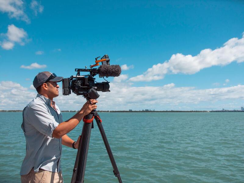
Planning and Scheduling Drone Realty Photoshoots
Efficient scheduling is crucial to capturing footage during optimal lighting conditions, typically during early morning or late afternoon. Advanced planning ensures weather conditions are suitable, minimizing disruptions that could compromise the quality of the shots. Coordinating with property owners and other stakeholders maximizes productivity and allows for swift post-shoot edits, delivering polished visuals within the desired timeline.