Overview of Aerial Photography in Miami Real Estate
Miami’s real estate market is renowned for its vibrant, luxurious, and highly competitive environment. In such a dynamic landscape, showcasing properties effectively is crucial for attracting potential buyers and standing out among numerous listings. Aerial photography has emerged as an essential component of modern real estate marketing strategies in Miami, offering a unique perspective that captures the full scope and grandeur of a property and its surroundings.
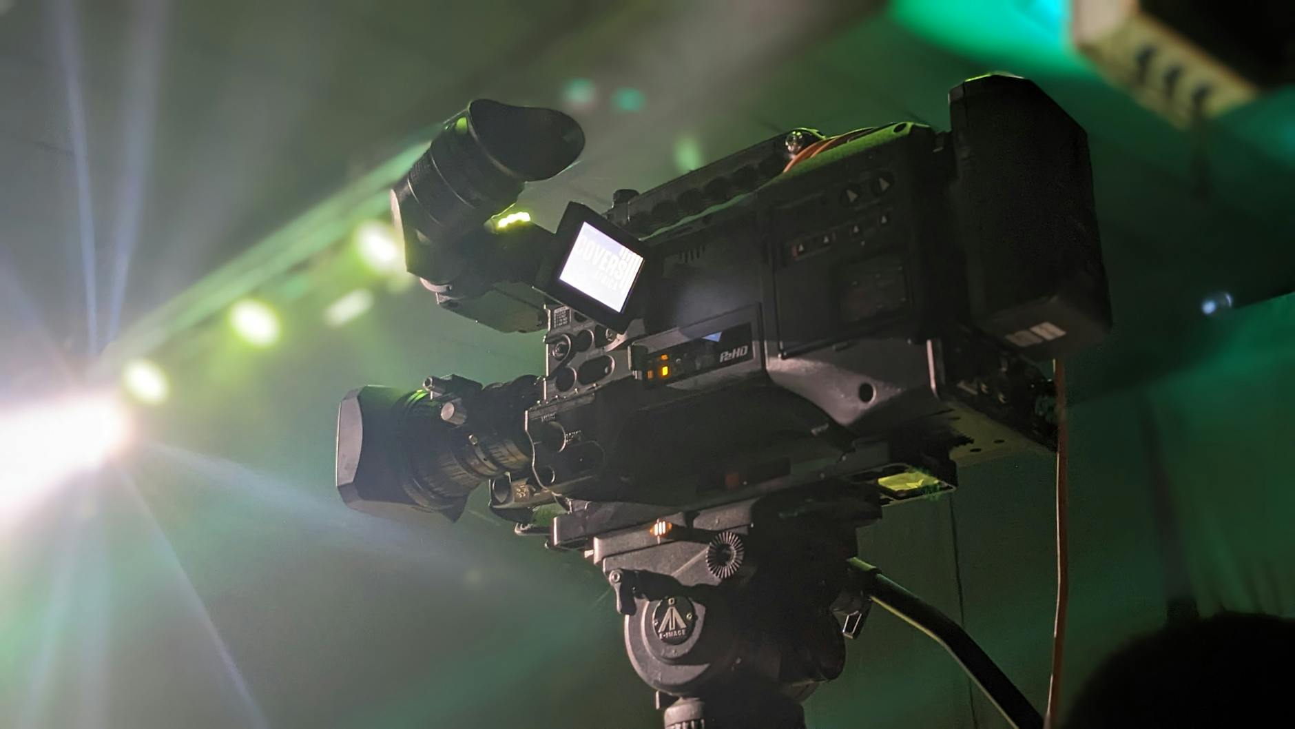
Utilizing drones and other advanced aerial imaging technologies, real estate agents and property sellers can present properties in a visually compelling manner that traditional ground-level photography often cannot achieve. This approach is particularly effective for large estates, waterfront properties, commercial developments, and developments located in scenic neighborhoods. By highlighting key features such as proximity to beaches, amenities, and urban skyline views, aerial photography elevates the appeal of Miami listings.
The widespread adoption of aerial imagery in Miami’s real estate sector has led to increased marketing efficiency and higher engagement rates. Agents benefit from high-quality visuals that enhance listings’ visibility across digital platforms, online catalogs, and social media campaigns. Moreover, the investment in aerial photography often results in faster sales cycles and potentially higher property values, as prospective buyers gain a clearer understanding of a property's scale and location advantages.
As technological advancements continue to make drone-based aerial photography more accessible and affordable, the trend is expected to keep growing. Real estate professionals in Miami leverage this innovative marketing tool to connect with a broader audience, offer visually immersive property tours, and ultimately close deals more efficiently. Whether for luxury mansions, bustling urban districts, or serene suburban homes, aerial photography has become a vital element in the modern Miami real estate landscape, blending aesthetic appeal and strategic marketing to maximize property exposure and buyer interest.
Factors Influencing Aerial Photography Rates
Understanding the various elements that impact pricing for aerial photography services in Miami is crucial for real estate professionals seeking high-quality visuals within their budgets. Several key factors contribute to the overall cost, each playing a significant role in determining the final fee charged by providers.
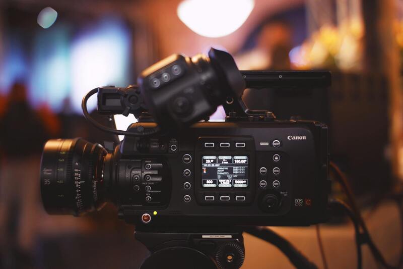
- Type of Drone and Equipment: The sophistication of the drone, camera quality, stabilization features, and accessories directly influence the price. Advanced drones equipped with high-resolution sensors, gimbal stabilization, and obstacle avoidance tend to command higher fees but deliver superior image clarity and stability.
- Image Resolution and Quality: The desired output resolution, including Ultra High Definition (UHD) or 4K footage, impacts the cost. Higher quality images require premium equipment and skilled operators, which can increase service charges.
- Project Complexity: The scope of the shoot—such as the size of the property, the number of locations, and the specific shot requirements—affects pricing. Complex projects involving multiple angles or drone maneuvering in challenging environments require more time and technical effort.
- Travel and Access Considerations: Locations that necessitate special permissions, remote access, or transportation costs may lead to supplementary fees. Urban settings with tight regulations or designated no-fly zones also influence pricing due to additional planning requirements.
- Post-Production and Editing: The extent of editing, color correction, or special effects integrated into the final images or videos can significantly alter costs. More comprehensive post-production work demands additional professional labor.
Typical Pricing Range for Aerial Photography Services
In Miami, the standard rates for aerial real estate photography vary depending on the project scope, provider expertise, and equipment used. As a general guide, most professional services charge between $200 and $600 per hour of flight time. For single property shoots, fixed package rates typically range from $300 to $1,000, covering multiple high-resolution images and short video clips. Larger or more complex projects, such as luxury estate campaigns or commercial developments, may incur costs upwards of $1,500 or more.
Pricing Based on Service Packages and Deliverables
In the Miami real estate market, aerial photography providers typically structure their offerings into various service packages to accommodate diverse client needs. These packages often include different combinations of high-resolution images, short promotional videos, and drone footage clips, allowing clients to select options that best fit their marketing strategies. For example, a basic package might feature several aerial images of the property, suitable for online listings and social media posts. More comprehensive packages could include full-day shoots, cinematic video walkthroughs, or 360-degree panoramic views, providing a more immersive experience for potential buyers.
Many service providers also offer customizable options, allowing clients to request specific shots, additional editing, or daytime/nighttime captures. Such tailored services typically come with additional costs but ensure that the marketing materials align precisely with the property’s unique features and the seller’s branding. When considering packages, it’s important to review the deliverables—such as image resolution, video length, and editing quality—to understand what is included and to ensure the final output meets your expectations.
Additional Costs and Customization Options
Beyond basic packages, additional costs can accrue due to specific client requests or special project requirements. These costs may include night-time aerial shots, which require specialized lighting equipment and longer planning stages; special permits for restricted drone flights; or high-end editing features like color grading and virtual staging. Furthermore, rush orders—those needing expedited delivery—may carry surcharges to prioritize workflow.
Customization options allow real estate professionals to elevate their listings with unique visual features. For instance, including 3D mapping, detailed fly-through videos, or integrating aerial photography into virtual reality tours can substantially boost the property's market appeal. While these enhancements enhance marketing impact, they also contribute to overall project costs, so clear communication with the service provider about your desired outcomes is essential to accurately estimate expenses.
Factors That Can Increase or Decrease Rates
Several elements influence the final cost of aerial photography services in Miami. Complexity of the project remains a significant factor; properties that span large areas or are situated in challenging environments require more planning, specialized equipment, and time, leading to higher rates. Access limitations, such as properties located near airports, busy urban zones, or private estates, may necessitate special permissions or additional navigational precautions, which can elevate costs.
Drone technology also plays a role; newer, high-end drones capable of capturing ultra-high-definition images and stabilized video generally command higher fees. Conversely, projects requiring fewer shots or less complex setups can often be completed more affordably. Weather conditions and timing also influence pricing—adverse weather may cause delays or rescheduling, indirectly impacting the total expense.
How to Budget for Aerial Photography in Miami Real Estate Listings
To establish an effective budget for aerial photography, real estate professionals should first define the scope of their marketing campaign. Evaluating the size of the property, the desired visual content, and the required delivery timeline helps in estimating costs. Comparing quotes from multiple providers ensures competitive pricing, while considering the quality and reputation of each agency guarantees professional results.
It is advisable to allocate a contingency fund—approximately 10-15% of the projected costs—to accommodate unforeseen expenses, such as special permits or weather-related delays. Setting clear expectations about deliverables and timeline from the outset minimizes the risk of unexpected charges and streamlines the production process. Ultimately, a well-defined budget aligned with strategic marketing goals ensures maximum return on investment for each aerial photography project.
Choosing the Right Production Agency for Your Budget
Selecting a production partner that aligns with your budget involves evaluating their portfolio, experience, and pricing models. Opt for agencies that openly detail their service packages and provide transparent quotes. Experienced providers equipped with the latest drone technology can deliver high-quality visuals efficiently, often translating to cost savings over less experienced competitors.
Furthermore, local agencies familiar with Miami’s regulations and access considerations can navigate permitting processes smoothly, preventing delays and cost overruns. Request references or case studies to verify their expertise in real estate aerial photography. Ultimately, balancing quality and cost ensures your investment results in captivating visuals that enhance your property’s appeal and attract potential buyers effectively.
Additional Costs and Customization Options
Beyond the base rates for aerial photography, several additional costs and customization options can influence the total expense. These may include specialized equipment requirements such as high-resolution cameras, 360-degree panoramic shots, or advanced stabilization systems to achieve specific visual effects. Clients seeking dusk or dawn shots may incur higher charges due to the need for extended operational hours and additional planning. Editing and post-production services can also add to the cost, especially if high-end retouching, color grading, or drone footage compilation is required.
Customized delivery options, such as faster turnaround times or additional copies of the finalized content in various formats, contribute to the overall budget. Some providers offer interactive media or virtual walkthroughs, which are often priced as premium add-ons. It is essential to communicate precisely what is needed early in the planning process to receive accurate quotes and avoid unexpected expenses.
Factors That Can Increase or Decrease Rates
Several key factors impact the pricing of aerial photography in Miami. Location-specific considerations, such as access to difficult-to-reach areas or crowded urban environments, can influence the complexity and time required for shoots, impacting costs accordingly. Weather conditions also play a crucial role; adverse weather can delay scheduling and increase expenses due to the need for reshoots or additional planning.
Endeavoring for shoot times outside regular hours, such as early mornings or evenings, may incur premium charges. Additionally, the type of drone technology used affects rates; newer, more advanced drones capable of capturing higher resolution footage or conducting complex maneuvers tend to be priced higher.
If permits or special access is needed to operate in specific neighborhoods or near restricted areas, these administrative efforts may generate extra fees. Conversely, clients who opt for simpler, straightforward shoots without extensive editing or extra deliverables often benefit from lower rates. Overall, understanding these variables aids in crafting a realistic budget aligned with project demands.
How to Budget for Aerial Photography in Miami Real Estate Listings
Developing a comprehensive budget requires a clear understanding of the scope of the project and the desired outcomes. Start by evaluating different service packages carefully, matching features such as resolution, coverage, and post-production services with your marketing needs. It’s recommended to allocate a contingency fund—roughly 10-15% of the total projected costs—to accommodate potential unforeseen expenses.
Effective budgeting involves comparing quotes from multiple providers, ensuring transparency in pricing structures, and clarifying what each package includes. Engage with agencies that provide detailed proposals, outlining all costs upfront to prevent surprises later. Consider the importance of timing; scheduling shoots during optimal weather conditions can minimize delays and costs. Additionally, prioritize providers with expertise in Miami’s unique real estate market and regulations, which helps streamline processes and avoid unnecessary expenses.
Factors That Can Increase or Decrease Rates
When evaluating the costs associated with real estate aerial photography in Miami, several factors can influence the overall pricing structure beyond standard service fees. These factors often determine the scope, complexity, and turnaround times of projects, impacting the final rates charged by providers.
Flight Complexity and Site Accessibility
The physical characteristics of the property play a crucial role in cost determination. Properties located in densely populated urban areas or near restricted airspace might necessitate additional permits and coordination with local authorities, which can elevate expenses. Additionally, sites that are difficult to access or require specialized equipment, such as drones capable of operating in tight spaces or high altitudes, may incur higher fees due to operational complexities.
Weather Conditions and Scheduling
Miami's tropical climate offers favorable conditions for aerial shoots, yet unpredictable weather patterns like sudden rain or high winds can cause delays. Scheduling during optimal weather windows reduces the likelihood of reshoots, but if weather disrupts plans, additional fees for rescheduling or extended shoot durations might apply.
Operational Permissions and Airspace Regulations
Flying in certain areas, especially near airports, busy commercial zones, or restricted neighborhoods, often requires special permits and compliance with local aviation authorities. The administrative process involved can add to costs, especially if multiple permits or coordination with authorities are needed for a seamless flight.
Post-Production and Editing Services
The level of post-shoot editing, including color correction, image stabilization, panoramic stitching, or video editing, substantially influences costs. Basic aerial shots with minimal editing usually fall on the lower end of the price spectrum. Conversely, highly edited images or videos produced for marketing purposes, virtual tours, or customized promotional content can significantly increase rates.
Equipment and Crew Requirements
Specialized equipment, such as high-resolution cameras, multiple drones, or stabilized gimbals, often command additional fees due to their technical sophistication. The size of the crew necessary for safety, coordination, and capturing different angles also impacts the overall price. Larger crews may be required for complex projects, multi-location shoots, or those involving extensive aerial coverage.
Urgency and Delivery Timeline
Projects with tight deadlines or requiring expedited delivery are typically priced higher. Quick turnaround times necessitate scheduling efficiencies and prioritized work, which can inflate costs relative to standard timelines.
Understanding these variables enables clients to make more informed decisions and adjust expectations according to their project scope and budget constraints. Clear communication with the service provider about specific requirements and potential hurdles ensures pricing transparency and helps prevent unexpected expenses.
Pricing Based on Service Packages and Deliverables
In Miami's competitive real estate market, aerial photography providers often bundle their services into various packages designed to meet distinct client needs. These packages typically include a set number of aerial shots, videos, or virtual tours, with tiered levels of post-production editing. For instance, basic packages may offer a handful of images with minimal editing, suitable for MLS listings or simple promotional content. Mid-tier packages might include longer video clips, drone flybys, and enhanced image editing such as color correction and contrast adjustments. Premium packages often provide comprehensive production options like high-definition virtual tours, 3D aerial mapping, and customized branding elements, tailored for high-end properties or luxury developments.
Rates within these packages depend on the complexity and volume of deliverables. Additional features, such as aerial mapping, twilight shots, or HDR imaging, typically incur extra costs. Clients should evaluate their project goals and choose a package that aligns with their marketing strategy, ensuring they receive the desired quality without overspending. A clear delineation of what each package includes helps prevent unforeseen expenses and aligns expectations between clients and providers.
Additional Costs and Customization Options
Beyond standard packages, several optional services can enhance the final product but may also increase the overall price. Customization choices include specialized angles, specific time-of-day shoots, or aerial footage of hard-to-access viewpoints. These additions are often billed separately, reflecting the extra time, equipment, or permits required. For properties with unique features, such as waterfront locations or multi-story developments, customized aerial content can dramatically boost visual appeal and marketing impact.
Prospective clients should discuss their specific needs with service providers, understanding the scope of possible add-ons and their impact on the budget. Transparent communication ensures that all customization options are accounted for, enabling detailed cost estimates and optimal resource allocation for each project.
Overview of Aerial Photography in Miami Real Estate
Miami’s dynamic real estate market relies heavily on high-quality visual content to attract prospective buyers and investors. Aerial photography offers a unique perspective, capturing expansive views of properties, surrounding landscapes, and neighborhood amenities from above. These images and videos enhance listing presentations, allowing potential clients to better understand property size, layout, and context within the local environment. As a result, aerial footage has become a critical component of modern real estate marketing strategies.
In Miami, where waterfront properties and multi-story developments are prevalent, aerial imagery provides a competitive edge. It showcases properties in their best light, highlighting features like pool areas, landscaped gardens, and proximity to beaches or city attractions. The demand for such premium visuals has driven service providers to offer specialized packages tailored to real estate professionals and property owners seeking impactful marketing tools.
Factors Influencing Aerial Photography Rates
The cost of aerial photography services varies based on several key factors. These include geographic location within Miami, the complexity of the project, the type of equipment used, and the specific deliverables expected by clients. For example, properties situated in hard-to-reach areas that require additional permits or specialized drone operations may incur higher fees. Similarly, projects that demand extensive editing, HDR processing, or special angles tend to cost more.
- Location and Accessibility: Properties in congested or restricted zones may require additional planning and permit acquisition, impacting rates.
- Project Complexity: Single-shot images are generally less expensive than multi-angle or video productions that require more editing and technique.
- Equipment and Crew: Use of advanced drones, stabilization gear, or multiple operators influences the overall price.
- Timing and Conditions: Shooting during twilight or capturing specific weather conditions often involves extra charges due to specialized timing or equipment needs.
Typical Pricing Range for Aerial Photography Services
In Miami, the standard rates for professional aerial photography typically range between $250 and $750 per session. Basic packages, which include standard high-resolution images of a property, tend to fall toward the lower end of this spectrum. Mid-tier options that encompass multiple angles, slight editing, or short video clips usually cost between $400 and $600. Premium packages featuring drone footage, twilight shots, or 3D aerial mapping can reach upwards of $1,000 or more, depending on the scope.

Pricing Based on Service Packages and Deliverables
Shoot packages are often structured according to the number of images, video length, and post-production work involved. Basic listings may include a handful of high-resolution aerial photos along with standard editing. More comprehensive packages incorporate detailed color correction, panoramic shots, and multiple formats designed for online or print marketing. The more extensive the deliverables, the higher the investment required. It's essential for clients to specify their desired outcomes upfront to obtain accurate estimates and select an option that aligns with their marketing goals.
Additional Costs and Customization Options
Beyond standard bundles, custom features can significantly influence the overall price point. These options include specialized angles, aerial tours, shooting at different times of day, or navigating complex property layouts. Unique property features such as waterfronts may require additional permits to access certain areas, adding to project costs. Customization can also involve advanced editing techniques like HDR imaging, panoramic stitching, or adding virtual tour elements. These enhancements enhance visual storytelling but should be discussed beforehand to establish clear budget expectations.
Clients are encouraged to review all available options with their service providers, ensuring transparency regarding additional charges for special requests. This proactive approach helps in managing budgets, avoiding surprises, and making informed decisions that maximize the value of aerial imagery within the real estate marketing campaign.
Factors That Can Increase or Decrease Rates
Understanding the elements that influence aerial photography rates is fundamental for real estate professionals seeking to optimize their marketing budgets. Variations in pricing often stem from the scope of the shoot, the complexity of the property, and specific client requirements. Analyzing these factors helps in making informed decisions that maximize investment value.
Property Size and Layout Complexity
Large properties or those with complex layouts tend to require more extensive planning and flight time, leading to higher costs. Properties with multiple structures, extensive grounds, or unique architectural features necessitate additional drone maneuvering, multiple shooting angles, and possibly longer flight durations. These factors contribute to increased labor and operational expenses.
Location and Accessibility
Proximity to restricted or hard-to-reach areas can influence pricing. If a property is situated within busy urban environments, additional permits, time for coordination with authorities, and safety measures may be required, adding to the overall cost. Similarly, properties located near protected wildlife zones or private land may require special arrangements, impacting rates.
Timing and Weather Conditions
Optimal lighting conditions, typically during dawn or late afternoon, are preferred for high-quality aerial shots but may involve scheduling flexibility. Weather also plays a crucial role; poor visibility or wind conditions can extend or reschedule shoots, potentially incurring additional charges. Planning around favorable weather windows is essential for delivering excellent results within budget constraints.
Equipment and Technology Specifications
The use of advanced or specialized equipment, such as high-resolution cameras, panoramic rigs, or stabilizing gimbals, can influence cost. Higher-end drones offering longer flight times, better maneuverability, and enhanced image stabilization typically command higher rates. Custom equipment demands and technical expertise also factor into the pricing structure.
Post-Processing and Editing Requirements
Services that include comprehensive editing—such as HDR imaging, panoramic stitching, color grading, or virtual tour integration—naturally come at an additional cost. The depth of post-production work requested by clients can significantly affect the final price, emphasizing the importance of clearly defining desired deliverables beforehand.
Experience and Reputation of the Service Provider
Established agencies with proven track records and highly skilled pilots tend to charge premium rates, reflecting their expertise and reliability. The investment in experienced professionals ensures consistent quality, compliance with safety standards, and efficient project management, ultimately affecting pricing structures.
Additional Costs and Customization Options
Beyond base rates, clients should consider potential extra charges linked to customization needs. Requests such as aerial videography, virtual tours, multiple shooting sessions, or specific shot angles can increase the overall expenditure. Transparency about these options from the outset allows for accurate budgeting and prevents surprises.