Role of Aerial Photography in Property Marketing
In the competitive landscape of the real estate market, visual presentation plays a pivotal role in attracting potential buyers and tenants. Aerial photography offers estate agents a powerful tool to showcase properties from a vantage point that emphasizes architectural features, landscape design, and surrounding amenities. By capturing images from elevated perspectives, agents can present a more comprehensive view of the property’s layout and spatial relationships, which are often difficult to convey with traditional ground-level photography.
High-quality aerial images can highlight the unique aspects of a property, such as expansive gardens, swimming pools, or proximity to local attractions. These visuals help create a compelling narrative around the property’s appeal, making listings stand out in digital platforms and print advertisements alike. Moreover, aerial photography can provide context by illustrating the property's neighborhood, access routes, and nearby services, all of which influence a buyer’s decision-making process.
For estate agents seeking to differentiate their listings, integrating aerial shots elevates the marketing strategy. It offers a fresh perspective that captures attention, encourages engagement, and can lead to faster sales or rentals. The ability to showcase a property’s full scope, including surrounding land and landscape features, results in a more transparent presentation, fostering trust and confidence among prospective clients. This strategic visual approach not only enhances presentation but also optimizes the overall marketing campaign, driving increased interest and visibility in a highly competitive industry.
Legal and Regulatory Considerations in Miami
When deploying aerial photography for estate marketing within Miami, adhering to established guidelines ensures a smooth and professional process. It is essential to understand and follow the specific protocols set forth for drone operations in the region, which include designated flight zones, altitude restrictions, and privacy considerations. Compliance with these standards maintains a seamless workflow while respecting the rights of individuals and property owners.
Operators should familiarize themselves with the local rules issued by relevant authorities governing aerial activities. These regulations often encompass registration requirements for certain types of drones, operational limitations during specific times of the day, and proximity restrictions around sensitive areas or private properties. Ensuring that all drone pilots are properly licensed and trained also contributes to responsible operations that align with industry standards.

Estate agents and professionals involved in aerial imaging must also prioritize privacy protocols by avoiding intrusive shots of private spaces without consent. Effectively managing airspace permissions, especially in densely populated areas, minimizes potential disruptions or misunderstandings. Engaging with authorized local agencies or consulting with legal specialists familiar with Miami’s aerial guidelines can facilitate compliance, safeguarding the reputation of the real estate firm and enhancing client trust.
Moreover, staying updated on evolving regulations and industry standards promotes a responsible approach to aerial marketing. Routine review of local advisories, participation in relevant workshops, and collaboration with certified drone operators ensure operations remain within legal frameworks. This diligent approach not only fosters a professional image but also positions the agent as a trustworthy and compliant provider of innovative property marketing solutions.
By integrating these regulatory practices, estate agents can leverage aerial photography effectively, expanding their marketing reach while maintaining the highest standards of professionalism and responsibility.
Types of Aerial Shots for Real Estate Listings
Effective aerial photography for estate agents encompasses a variety of shot types, each serving a specific purpose in highlighting a property's unique features and enhancing its market appeal. Wide-angle shots provide a comprehensive view of the entire property and its surroundings, giving potential buyers a sense of scale and proximity to nearby amenities. Flyovers, executed with smooth drone movements, offer dynamic perspectives that can showcase the property's layout, landscape, and exterior design in a compelling way. Overhead views are ideal for emphasizing key aspects such as backyard size, pool placement, driveway accessibility, or surrounding land topography.
Choosing the right type of aerial shot depends on the specific qualities of the property and the intended marketing message. For urban homes, capturing the property's proximity to city centers, parks, or transportation hubs can be pivotal. Large estates benefit from expansive overhead views that reveal land boundaries, gardens, and outdoor living spaces. In waterfront properties, focusing on the shoreline, water access points, and unobstructed views can significantly boost appeal. A combination of these perspectives creates a comprehensive visual story, enabling prospective buyers to visualize themselves within the space effectively.
Optimizing Aerial Shots for Marketing Impact
Once the appropriate shot types are selected, careful planning and execution are essential to optimize their effectiveness. Consider lighting conditions—early morning or late afternoon often provide softer, more flattering natural light. Maintaining stable drone operation without disturbing residents or neighbors enhances image quality and professionalism. Overfly paths should be pre-planned to avoid obstructions and to ensure comprehensive coverage of the property.
Post-processing also plays a vital role. Color correction, contrast adjustment, and strategic cropping can make aerial images more vibrant and compelling. Including measurements or annotations in certain shots can aid prospective buyers in understanding property dimensions and layout details. Combining high-quality aerial imagery with interior photos and detailed property descriptions creates a balanced and persuasive online listing.

Seamless Integration of Aerial Photos into Property Listings
For maximum marketing effectiveness, aerial photos should be integrated strategically within property listing platforms. Placing these visuals early in the listing captures interest and provides viewers with an immediate understanding of the property's scale and setting. Interactive virtual tours that incorporate aerial footage can create immersive experiences, enabling potential buyers to virtually explore the property from multiple angles.
Consider also including a picture gallery that juxtaposes aerial shots with ground-level views, thereby illustrating both the property's exterior grandeur and interior appeal. Descriptive captions should highlight key features visible in each image, guiding viewers’ attention to the most attractive aspects of the property. Consistent branding, professional editing, and high-resolution images help reinforce a trusted and polished presentation, ultimately driving higher engagement and inquiries.
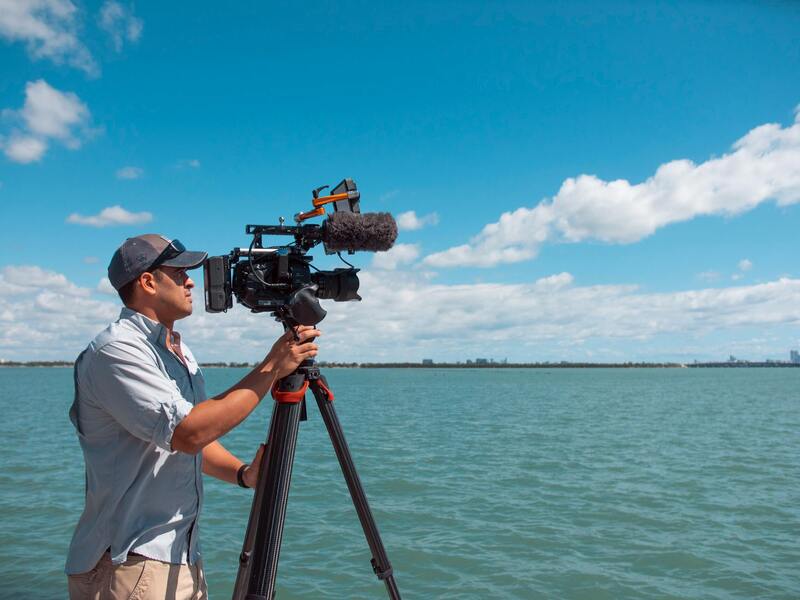
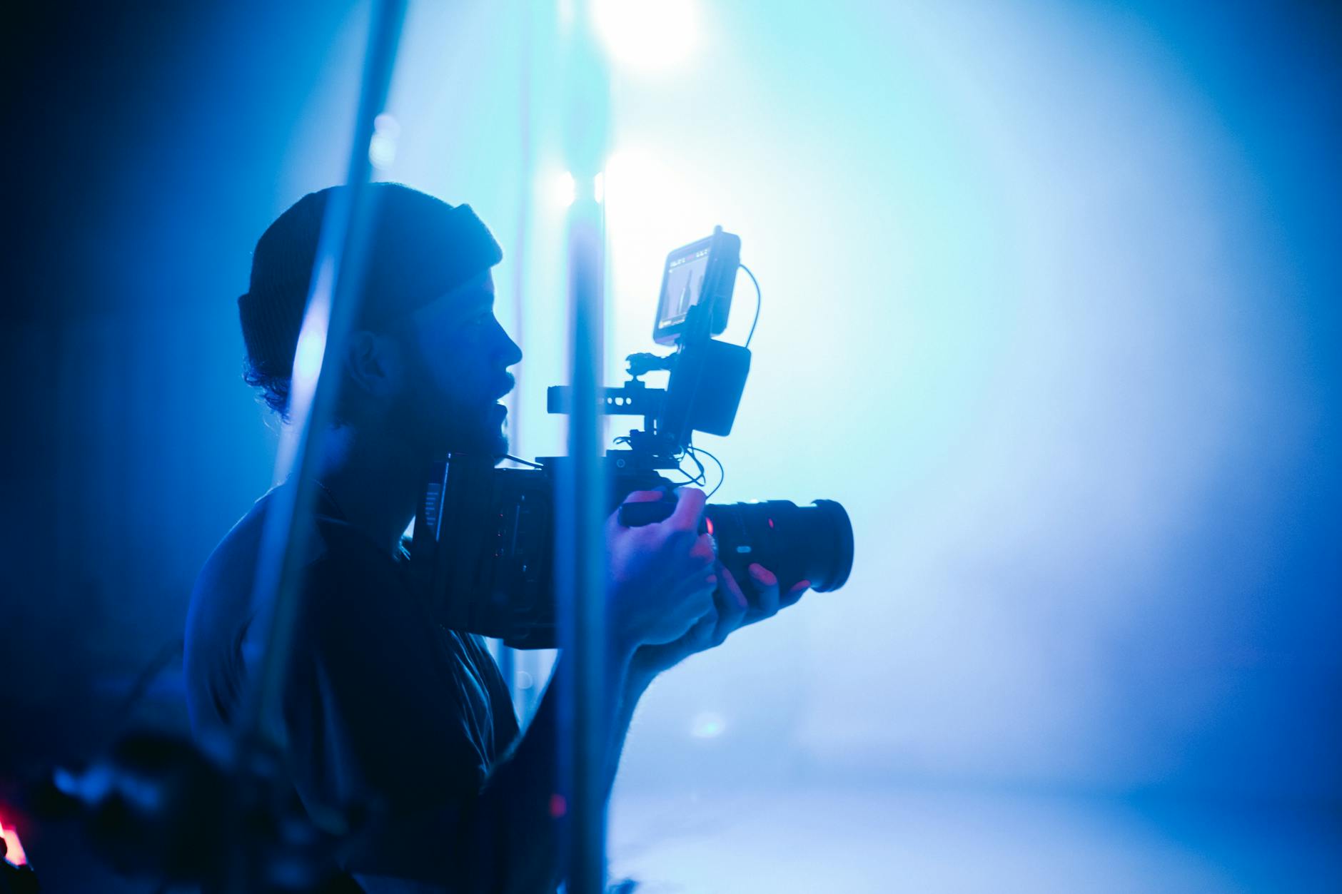
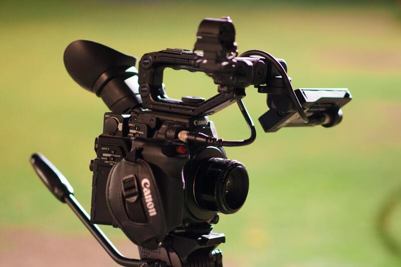
Choosing the Right Equipment and Drone Technology
To achieve exceptional aerial imagery that effectively showcases property features, the selection of appropriate equipment is paramount. Professional-grade drones equipped with high-resolution cameras are essential, providing clarity and detail necessary for compelling listings. Features such as gimbal stabilization ensure smooth footage, reducing motion blur and delivering crisp images even in windy conditions. Moreover, drones with obstacle avoidance systems enhance safety during flight, minimizing risks to property and personnel.
When selecting drone models, consider those with adjustable camera angles and zoom capabilities to capture diverse perspectives. Battery life also plays a crucial role, with longer flight times facilitating comprehensive coverage of expansive estates. Advanced models often include GPS positioning, enabling precise flight paths and hover capabilities, which are vital for consistent staging of shots across property sites.
Furthermore, utilizing reliable remote controllers with intuitive interfaces allows operators to maintain optimal control during shoots, ensuring the capture of the most dynamic and informative visuals. Compatibility with editing and processing software enhances post-flight workflows, enabling quick adjustments and high-quality output suited for property marketing.
Best Practices for Capturing Aerial Photos of Properties
Capturing outstanding aerial images requires strategic planning and adherence to best practices. Optimal lighting conditions, typically during early morning or late afternoon, produce softer shadows and more appealing visuals. It is essential to conduct pre-flight site assessments, checking for obstacles such as trees, wires, or structures that could interfere with drone operation or compromise safety.
Angles and altitude significantly influence the impact of aerial shots. Elevating the drone to an appropriate height provides an expansive view that highlights the property's scale and surrounding landscape. Incorporating wide-angle shots emphasizes the breadth of the estate, while closer, detailed views can showcase specific features such as gardens, pools, or architectural details.
Maintaining consistent flight paths and using preset waypoints help in capturing uniform images, which are crucial for creating seamless virtual tours or photo galleries. Engaging in multiple takes from different angles ensures a comprehensive visual record, enabling the selection of the most compelling imagery for listing purposes.
Legal and Regulatory Considerations in Miami
When utilizing aerial photography to showcase properties, estate agents must adhere to the specific guidelines and protocols established by local authorities in Miami. Ensuring compliance with these standards guarantees smooth operations and maintains the professional integrity of the marketing process. This involves obtaining necessary permits for drone flights, especially when performing multiple or extended shoots over private or restricted areas. Such permits are often issued by municipal agencies and require details about flight paths, safety measures, and the purpose of the aerial footage.
Operators should conduct thorough pre-flight assessments of the intended shooting locations. This includes verifying no-fly zones and restricted airspace, which may encompass airports, military bases, or other sensitive sites. Staying informed about temporary flight restrictions, such as during special events or city-wide emergencies, is essential to avoid interruptions or penalties.
Preparation also involves understanding local privacy considerations. While capturing scenic vistas and property shots, care should be taken to respect neighbors' privacy and avoid capturing images of private spaces without consent. Using designated flight zones and limiting altitude to appropriate levels helps in maintaining these boundaries effectively.
Furthermore, documenting all necessary permits and adherence to safety protocols provides a documented trail for audits, inspections, or inquiries. This responsible approach not only facilitates legal compliance but also boosts client confidence in the professionalism and integrity of the estate agency’s marketing services.
Legal and Regulatory Considerations in Miami
When executing aerial photography for estate agents in Miami, understanding the structured framework governing drone operations is crucial. Compliance extends beyond obtaining specific permits; it involves adherence to ongoing operational guidelines designed to promote safety and respect for private spaces. Agents and operators should familiarize themselves with the procedures for acquiring flight authorizations from relevant municipal authorities, which often entails providing detailed flight plans and safety measures. Navigating the airspace requires meticulous awareness of no-fly zones and restricted airspaces. Miami’s proximity to airports, military bases, and other sensitive locations demands careful pre-flight planning to avoid obstacles and ensure clear communication with authorities if necessary. Staying updated about temporary flight restrictions, especially during large-scale public events or emergencies, minimizes risks of unintentional violations. A key aspect of responsible aerial photography involves respecting privacy boundaries. While capturing expansive views of properties and neighborhoods, operators must avoid unintentionally recording private residential areas or sensitive personal spaces. Maintaining optimal altitude levels and designated flight zones helps uphold these boundaries without compromising the quality of the footage. Keeping detailed documentation of permits, safety protocols, and flight paths forms a vital part of the operational process. This documentation can serve as verification during audits or inspections, reinforcing a commitment to standards of safety and professionalism. Such diligence elevates the trustworthiness of the estate agency’s marketing approach and demonstrates a dedication to ethical practices within Miami’s dynamic urban environment.
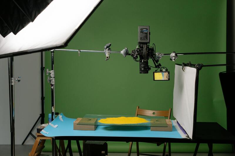
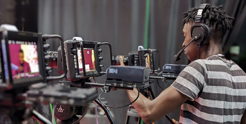
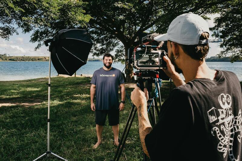
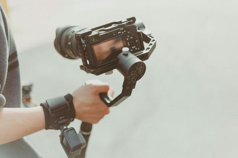
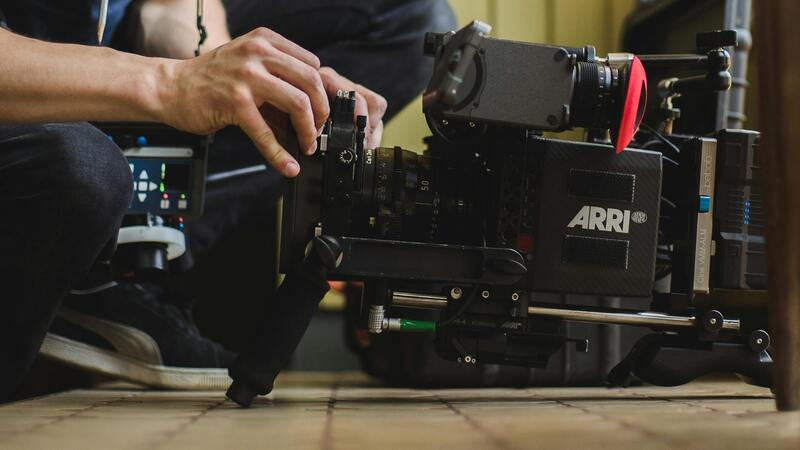
Official Methods and Certification for Aerial Photography Practitioners
To ensure high-quality and compliant aerial imagery, estate agents and professional drone operators must utilize reputable practices that adhere to established standards. Employing drone pilots who have completed comprehensive training programs and hold recognized certifications is essential. These certifications verify that operators possess the necessary knowledge of flight operations, safety protocols, and proper handling of advanced equipment.
Engaging with licensed aerial photography service providers guarantees adherence to operational protocols that prevent disruptions and maintain safety within the established airspace. Such providers regularly update their skills by participating in ongoing education, ensuring familiarity with the latest technological advancements and industry standards.
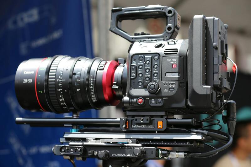
Equipment used in professional aerial photography must also meet specific requirements. High-resolution cameras and stabilized gimbals are standard to produce sharp, detailed images that accurately represent property features. Drones equipped with GPS and obstacle avoidance systems further enhance operational safety and precision.
 igure>
In addition to equipment, establishing procedural protocols is key. Pre-flight checklists, risk assessments, and detailed flight plans help mitigate potential issues during operation. Consistent documentation of these procedures can provide proof of compliance and professionalism when reviewing project workflows or during client audits.
Partnerships with certified aerial photography companies also include contractual agreements that specify the scope, safety measures, and deliverables. These agreements serve to align expectations and reaffirm the commitment to responsible, effective image capture.
 igure>
By prioritizing certified operators and verified equipment, estate agencies can confidently incorporate aerial visuals that not only attract prospective buyers but also uphold professional standards and operational integrity. This approach reinforces trust and demonstrates a commitment to ethical, responsible marketing practices within Miami’s diverse urban landscape.
Optimal Utilization of Aerial Photography in Property Listing Platforms
Successfully integrating aerial imagery into property listings requires a methodical approach to ensure each visual element maximizes its impact. Modern estate agents are adopting comprehensive strategies to showcase properties from compelling perspectives, highlighting both the grandeur and unique features of the estate. To achieve this, aerial photos should be strategically positioned within the online listing, accompanied by detailed descriptions that augment the visual storytelling.
- High-Resolution Representation: The images must be of high quality, capturing every detail of the property and surrounding landscape with clarity. This necessitates using advanced drones equipped with high-resolution cameras that can deliver crisp, vibrant visuals across various lighting conditions.
- Consistent Image Style: Establishing a uniform aesthetic across aerial photos enhances brand professionalism. This can involve using similar angles, lighting, and editing styles, creating a cohesive visual narrative that resonates with prospective buyers.
- Multiple Perspectives: Incorporating a variety of shots—such as top-down views, oblique angles, and panoramic perspectives—provides a comprehensive understanding of the property’s layout, proximity to amenities, and neighborhood context.
- Dynamic Presentation: When possible, integrating aerial videos or 360-degree virtual tours enriches user engagement, offering an immersive experience that static images alone cannot provide.
Once integrated, these images should be optimized for speed and clarity across all devices, ensuring accessibility for viewers on desktops, tablets, and smartphones. Metadata tagging with relevant keywords enhances search engine visibility, making the listings more discoverable by potential clients researching properties in Miami. Additionally, maintaining an organized digital asset management system simplifies updating listings with fresh aerial content, keeping marketing materials current and appealing.
To maximize the effect of aerial photography in marketing campaigns, estate agents should leverage social media platforms strategically. Sharing eye-catching aerial shots through targeted advertisements can attract a wider audience, including international buyers. Coupled with compelling storytelling and clear calls to action, these visuals can significantly influence the decision-making process.
Moreover, ensuring that every aerial image complies with all operational standards and follows best practices guarantees the integrity of the marketing effort. This includes consistent adherence to safety protocols, proper licensing, and professional editing that preserves the natural aesthetic of each property. When executed properly, aerial photography becomes a powerful component of a sophisticated, high-impact estate marketing strategy that stands out in Miami’s competitive real estate landscape.