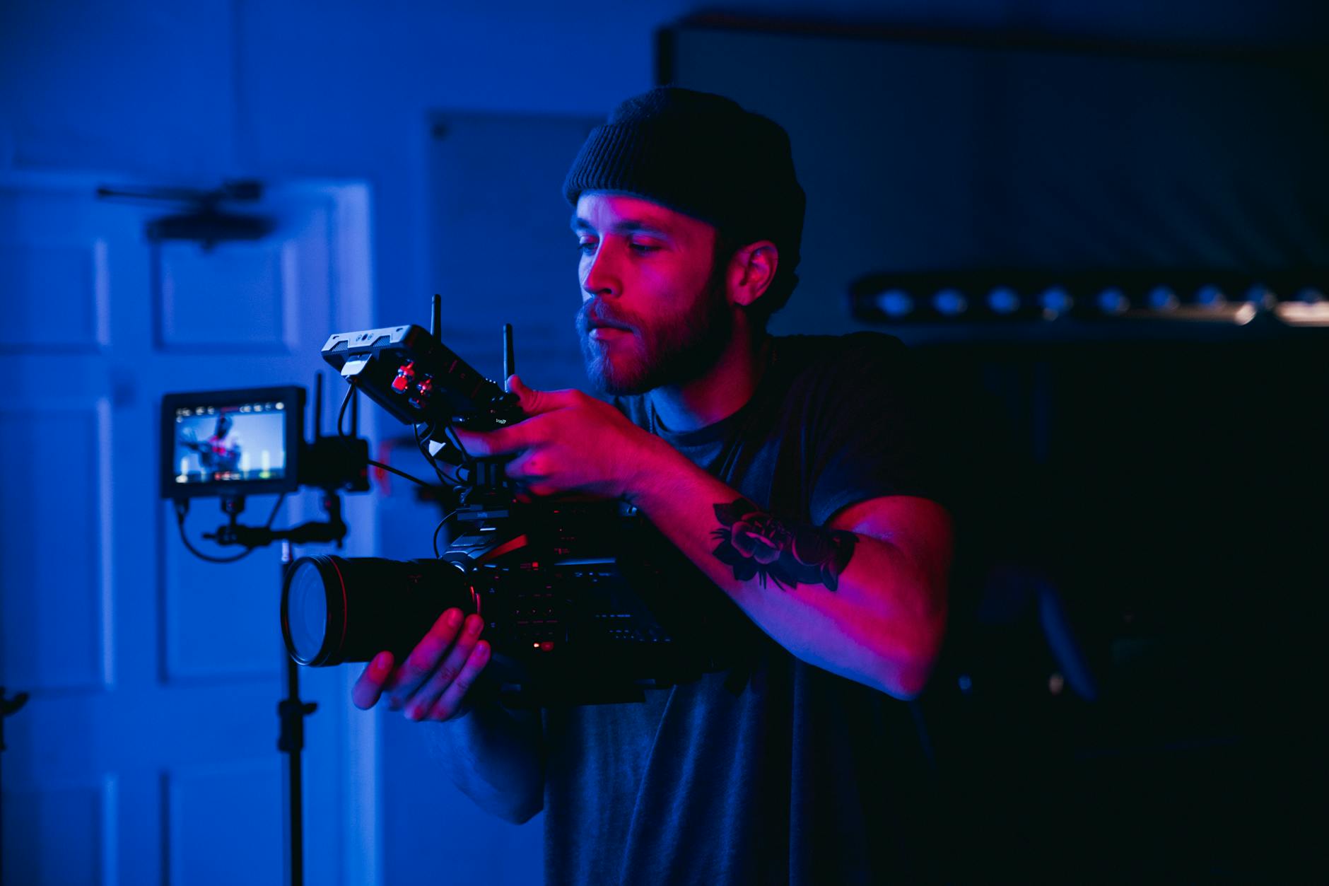
Overview of Commercial Real Estate Drone Services
In the competitive landscape of commercial real estate, visual presentation and precise data collection play pivotal roles in property marketing and management. Drone technology has emerged as an indispensable tool, offering high-quality aerial imagery and detailed data gathering capabilities that enhance the way properties are showcased and maintained. These specialized drone services are designed to cater specifically to the needs of commercial property owners, brokers, and developers, delivering comprehensive aerial footage and survey insights that were once difficult and costly to obtain. Leveraging advance drone operations allows stakeholders to gain a comprehensive perspective of large-scale properties, construction sites, and urban landscapes, which are critical for strategic decision-making and effective marketing campaigns.

The primary functions of these services involve capturing high-resolution images, making panoramic virtual tours, and integrating geographic data for in-depth analysis. These capabilities enable real estate professionals to create compelling visual narratives around commercial spaces, from office complexes and industrial parks to retail centers and vacant land parcels. By utilizing advanced drone technology, professionals can access angles and heights that are otherwise unattainable with traditional methods, ensuring a comprehensive understanding of the property’s condition and context within its surroundings. This approach not only enhances visual appeal but also informs crucial decisions regarding property development, renovation, or sale.
Furthermore, commercial real estate drone services facilitate precise measurements and mapping, aiding in land surveys, zoning assessments, and construction monitoring. The ability to generate detailed 3D models and orthomosaic maps provides insights into topography, structural integrity, and site planning. As a result, stakeholders can optimize resource allocation, streamline approval processes, and improve project accuracy, ultimately saving time and reducing operational costs.

In summary, the integration of drone technology into the commercial real estate sector redefines traditional practices by providing dynamic visuals and reliable data collection tools. These offerings pave the way for more informed, efficient, and competitive market positioning, reinforcing the importance of adopting drone services to elevate property presentation and operational insight in today’s fast-paced real estate environment.
Types of Drone Footage for Commercial Properties
Utilizing diverse drone footage types allows commercial real estate professionals to showcase property features effectively while supporting various operational and marketing needs. Each footage style offers unique insights and visual benefits suited to different project stages and objectives.
- Aerial Overview Shots: These broad, sweeping visuals provide a comprehensive view of the entire property, including its scale, surrounding landscape, infrastructure, and accessibility. They are essential for first impressions, marketing materials, and general site assessments.
- Vertical and Oblique Images: Vertical shots focus directly downward to highlight land parcels, lot dimensions, and topography. Oblique angles, taken at an angle, reveal building facades, architectural details, and adjoining features, giving a more dimensional perspective that can enhance property presentations.
- Progress and Construction Monitoring: Regular drone footage captures ongoing development work, allowing stakeholders to document milestones, ensure compliance with design specifications, and track deviations or delays in construction timelines.
- Inspections and Condition Surveys: Close-up and detailed imagery support in-depth inspections of rooftops, facades, and structural elements without deploying traditional scaffolding or ladders. This approach reduces time and safety risks while ensuring thorough documentation.
- Time-Lapse and 360-Degree Videos: Capturing property changes over time or creating interactive virtual tours enhances engagement and provides comprehensive visual narratives for investors, tenants, and potential buyers.
In the context of commercial real estate, selecting the right footage type depends on project goals, property complexity, and target audiences. Combining these footage styles facilitates a multidimensional understanding of the site, improving decision-making and marketing strategies.
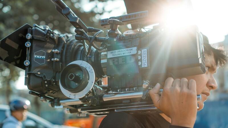
 igure>
Utilizing Commercial Real Estate Drone Footage for Marketing Strategies
High-quality drone footage serves as a vital asset in the marketing and promotional efforts of commercial properties. When prospective tenants, investors, or buyers evaluate potential investments, visual content provides an immediate and compelling narrative that traditional photographs cannot match. Dynamic aerial views, panoramic videos, and detailed virtual tours captured by drones help showcase the full scale and unique features of the property, fostering engagement and increasing interest.
Commercial real estate marketers leverage drone footage to create immersive experiences that highlight property surroundings, accessibility, and infrastructure connections. For instance, a comprehensive aerial tour can illustrate proximity to transportation hubs, business districts, or ancillary amenities, providing prospective clients with a contextual understanding of the property's strategic advantages. Moreover, drone footage enhances listing presentations and digital portfolios, offering visually stunning content optimized for online platforms and social media channels.

Visual storytelling using drone videos also supports targeted marketing campaigns. Short, engaging clips can be incorporated into email campaigns, virtual open houses, and multimedia advertisements, driving higher engagement rates and expanding outreach. The ability to produce consistent, professional-grade visuals complements traditional marketing materials and elevates the overall presentation of commercial listings.
Additionally, drone footage can be synchronized with geographic information system (GIS) data or integrated into virtual reality (VR) experiences, providing potential clients with interactive, detailed explorations of properties from afar. This technological integration broadens market reach, especially in scenarios where physical site visits are limited or infeasible.
Ultimately, strategic deployment of drone-generated visuals transforms property marketing, making listings stand out in a competitive market and accelerating the sales or leasing process. The combination of accessibility, detail, and immersive quality provided by drone services empowers real estate professionals to connect more effectively with their target audiences and position their properties for success.
Application of Aerial Imagery in Property Evaluation and Due Diligence
In the realm of commercial real estate, aerial imagery provided by drones serves as a vital resource for thorough property evaluation and due diligence processes. High-resolution, comprehensive visuals allow stakeholders to assess the condition and features of a property in detail, supporting accurate decision-making. These visuals enable representatives to monitor structural integrity over time, identify potential maintenance or repair needs, and evaluate the impact of surrounding developments. Such data collection is especially valuable for large-scale industrial complexes, retail centers, and office parks, where traditional inspection methods may be time-consuming or limited in scope.
Furthermore, drone-captured images assist in assessing environmental aspects, zoning compliance, and surrounding infrastructure. This is crucial during acquisition negotiations and financial assessments. Detailed, up-to-date visuals help investors, lenders, and property managers to conduct comprehensive risk analysis, ensuring that all pertinent factors are considered before finalizing deals. Additionally, in scenarios where physical access to certain property sections is restricted or difficult, drone surveys provide a safe and efficient alternative for data collection, minimizing disruption to ongoing operations.

Supporting Environmental and Site Planning Assessments
Beyond individual property evaluation, drones assist in broader environmental and site planning assessments. Detailed aerial surveys enable detailed mapping of land contours, drainage patterns, and vegetation cover, helping stakeholders to conduct environmental impact analyses and develop sustainable development plans. This precision is essential for complying with environmental regulations and planning long-term land use strategies. Moreover, drone imagery facilitates the creation of accurate base maps for construction planning and infrastructure development, ensuring that all modifications align with existing site conditions.
Having access to high-quality, georeferenced visuals accelerates the planning process and enhances communication among different teams involved in a project. Stakeholders can visualize potential development scenarios, identify obstacles early, and optimize resource allocation for the project timeline. The integration of drone data with Geographic Information Systems (GIS) further improves spatial analysis, enabling complex simulations and informed decision-making that adhere to regional development guidelines and site-specific considerations.
Streamlining Construction Monitoring and Progress Tracking
In the construction phase of commercial projects, ongoing monitoring is essential to ensure phases are completed on schedule and meet quality standards. Drone services provide real-time visual updates of construction sites, enabling project managers to track progress with precision and identify potential issues early. Regular aerial inspections capture comprehensive views of the site, highlighting areas where work may be lagging or deviating from plans. This proactive approach minimizes costly delays and supports project transparency among stakeholders.
Beyond progress tracking, drone footage assists in verifying safety compliance and ensuring that construction practices align with design specifications. It also facilitates remote project oversight, allowing teams to review site developments from afar without the need for frequent physical visits. This capability is particularly advantageous for large-scale or multi-site developments, where coordination across different locations is crucial for maintaining workflow and adhering to project timelines.
Impact on Property Inspection and Management
Utilizing commercial real estate drone services significantly optimizes property inspection and management practices in Miami's vibrant market. Traditional inspection methods often require manual labor, extensive time, and physical presence, which can lead to gaps in data collection and analysis. In contrast, drone technology offers a comprehensive, efficient, and safe alternative that enhances the accuracy and frequency of property assessments.
With high-resolution aerial footage, property managers gain detailed visual insights into the condition of rooftops, facades, and expansive lot areas that are difficult to access via conventional means. This capability is crucial in identifying issues such as structural damages, roofing deterioration, or landscape anomalies before they escalate into costly repairs. Drone inspections can be scheduled regularly without disrupting daily operations, thereby providing ongoing surveillance that contributes to proactive maintenance strategies.
Moreover, drone footage facilitates improved asset management by creating detailed 3D models and thermal maps. These advanced representations help in pinpointing thermal leaks, moisture intrusion, or insulation problems, which are essential for maintaining energy efficiency and reducing operational costs. Such data-driven insights support informed decision-making, ensuring property portfolios are optimized for performance and longevity.

In the realm of property management, drones also play a vital role in simulating emergency scenarios, planning renovations, and tracking ongoing maintenance projects. Visual documentation generated through drone footage provides records for accountability and transparency, useful during audits or dispute resolutions. Additionally, aerial images and videos improve stakeholder communication, providing clear, compelling visuals that aid in decision-making processes.
Integrating drones into property management workflows enhances operational efficiency, reduces resource expenditure, and fosters a proactive approach towards maintaining commercial assets in Miami’s competitive real estate environment. As technology advances, the scope of drone applications is expected to expand further, encompassing automated inspections, advanced analytics, and real-time monitoring systems that redefine property oversight standards.
Impact on Property Inspection and Management
Integrating drone technology into the operational practices of commercial real estate management significantly enhances the accuracy and efficiency of property inspections. Traditional inspection methods often require extensive manual effort, which can be time-consuming, costly, and sometimes limited in scope. Drones offer a solution by providing comprehensive aerial views that capture detailed imagery and videos of properties, hard-to-reach areas, and critical infrastructure.
With high-resolution cameras and thermal imaging capabilities, drones can quickly identify issues such as structural damage, roof deterioration, or water leaks without the need for scaffolding or elevated work platforms. This rapid assessment allows property managers to prioritize repairs, schedule maintenance proactively, and allocate resources more effectively. The ability to obtain real-time data facilitates ongoing monitoring, which is essential for large-scale commercial complexes where regular inspections are vital for operational safety and compliance.
Moreover, drone-enabled site planning becomes more precise and efficient. By generating detailed 3D models and orthomosaic maps, managers can analyze terrain, plan construction phases, or visualize modifications with better accuracy. These tools help in simulating different scenarios, evaluating site accessibility, and optimizing layouts before physically implementing changes. Consequently, project timelines are shortened, and the risk of costly errors decreases significantly.
Additionally, drones serve as versatile tools for tracking ongoing maintenance activities. Regular aerial surveillance enables continuous oversight of structural integrity, landscaping, fencing, and other property features. The recorded imagery provides verifiable documentation that can be used during audits, disputes, or insurance claims. This proactive approach minimizes downtime, reduces unexpected expenses, and ensures compliance with safety standards in Miami's dynamic real estate market.
Furthermore, integrating drone data into asset management systems improves decision-making at the strategic level. Accurate, up-to-date aerial information empowers managers to make informed investment decisions, assess property conditions more thoroughly, and plan future developments with greater confidence. As technology advances, emerging drone capabilities such as autonomous operation, cloud-based analytics, and real-time data streaming promise to further revolutionize property inspection and management.
Choosing a Drone Service Provider in Miami
Selecting the right provider for commercial real estate drone services is crucial to harnessing technology's full potential. An experienced provider will have a thorough understanding of Miami’s unique real estate market dynamics and relevant regulations, ensuring that all operations are conducted safely and efficiently. When evaluating potential companies, consider their portfolio of past projects, as portfolio diversity indicates adaptability and expertise across various property types and environments.
Reputable drone service providers should also demonstrate compliance with all operational standards, including those related to pilot certification, equipment maintenance, and safety protocols. Advanced drone technology, such as high-resolution cameras, LiDAR sensors, and autonomous flight capabilities, can significantly enhance data accuracy. Service providers who invest in cutting-edge equipment are better positioned to deliver comprehensive aerial imagery and detailed 3D modeling tailored to commercial real estate needs.
Communication is key. The chosen provider should offer clear, transparent workflows, including pre-mission planning, real-time updates, and post-flight data analysis. Their team should be proficient in processing large datasets efficiently, converting raw drone footage into actionable insights like detailed site maps, volume measurements, and structural assessments.
Cost efficiency also plays a pivotal role. However, it is vital to balance affordability with quality. An experienced provider will often offer customizable packages aligned with specific project requirements, whether for marketing, inspection, or development planning. Engaging with a drone service provider who understands existing real estate workflows ensures smoother integration of aerial data into property management systems.
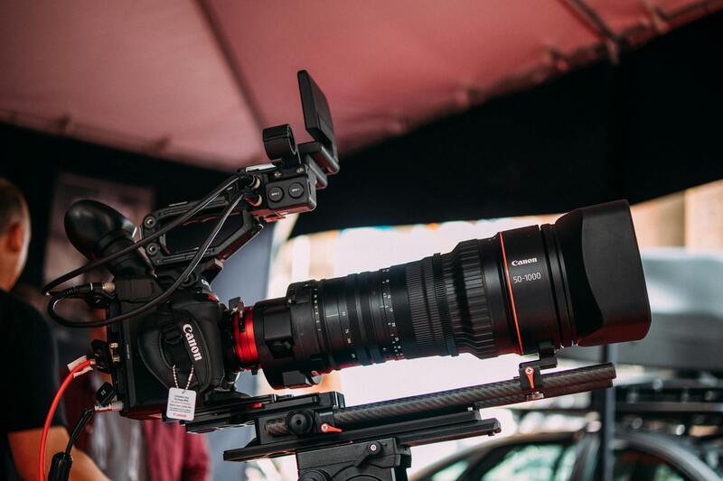
 igure>
Utilizing Commercial Real Estate Drone Services Responsibly in Miami
As the adoption of drone technology in Miami's commercial real estate sector continues to expand, it is essential to prioritize responsible usage and thorough planning to maximize benefits while maintaining operational excellence. Property owners, brokers, and developers should work with professional drone service providers that adhere to rigorous standards and utilize the latest technology to ensure safety, data accuracy, and efficient project execution.
Pre-Flight Planning and Site Assessments
Effective commercial real estate drone operations begin with detailed pre-flight planning. This includes evaluating the specific needs of the property, understanding the surrounding environment, and mapping out the flight paths to avoid obstacles and sensitive areas. A comprehensive assessment allows for optimal camera angles and flight altitudes, which are critical for capturing high-quality imagery and data. Precise planning also helps to mitigate any potential disruptions to ongoing property activities and ensures compliance with local airspace regulations.
Ensuring Data Security and Privacy
With the increasing reliance on aerial data to inform critical business decisions, safeguarding the information collected during drone operations is a priority. Use of secure data transmission protocols and protected storage solutions should be a standard practice. Clients should also demand transparency from drone service providers regarding data handling processes. This includes clear policies on who has access to the data, how it is stored, and the measures taken to prevent unauthorized use or breaches. Respect for the privacy of neighboring properties and compliance with relevant policies further reinforce responsible drone usage.
Operational Best Practices in Miami
Operators should be well-trained and certified, possessing up-to-date knowledge of Miami’s specific airspace regulations and local aviation requirements. Routine maintenance of drone equipment ensures reliable performance and high-quality output, which is vital for the detailed analysis required in commercial real estate projects. Additionally, drone flights should be scheduled during optimal weather conditions to mitigate risks such as turbulence or visibility issues, ensuring safety and data quality.
Effective Integration of Aerial Data into Property Workflows
To derive maximum value from drone footage, it is crucial to integrate aerial data seamlessly into existing property management and marketing workflows. Advanced data processing tools enable the conversion of raw footage into detailed 3D models, volumetric measurements, and high-resolution images that support decision-making processes. These deliverables aid in site planning, structural assessments, and marketing initiatives, providing stakeholders with comprehensive insights.
Balanced Cost and Quality in Service Selection
While budget considerations are important, they should not compromise the quality and safety of drone operations. A professional Miami drone service provider offers customizable packages tailored to specific project objectives, whether it’s for marketing visuals, inspection reports, or development planning. Collaboration with experienced providers ensures that aerial data is accurate, actionable, and integrated efficiently into broader project strategies.
Future-Proofing Commercial Drone Usage
Staying ahead in Miami’s dynamic real estate landscape involves embracing emerging drone technologies and practices. Innovations such as autonomous flight systems, improved sensor capabilities, and real-time data analytics are set to revolutionize how commercial properties are surveyed, marketed, and managed. Engaging with technology providers who invest in continuous improvement will help ensure that the benefits of drone services are maximized now and into the future.