Overview of Drone Photography in Real Estate
In the rapidly evolving landscape of real estate marketing, drone photography has emerged as a pivotal tool for showcasing properties with a new dimension of visual appeal. High-resolution aerial images and videos captured via drones provide potential buyers with a comprehensive perspective of a property’s layout, surrounding neighborhood, and unique features that traditional photography may not fully convey. This enhancement in visual storytelling not only captures attention but also fosters a deeper understanding of a property's context and scale.
Drone technology offers a strategic advantage for real estate professionals aiming to differentiate their listings in a competitive market. By integrating aerial imagery, real estate agents can highlight expansive properties, attractive landscapes, and nearby amenities more effectively than with ground-based photos alone. It allows prospective buyers to virtually explore the property from a top-down view, gaining insights into the property's accessibility, size, and potential personalized prospects.
The adoption of drone photography in the real estate sector aligns with contemporary marketing trends emphasizing rich, immersive visual content. It creates an engaging experience that can significantly increase online engagement, generate more interest, and ultimately lead to faster sales. As properties become more complex and buyers become more visually oriented, the value of professional drone imagery continues to rise.
Furthermore, drone footage has become an essential component for virtual tours, enabling potential buyers to explore a property remotely with a level of detail and perspective that traditional methods cannot provide. This technology not only enhances the aesthetic appeal but also improves the informational value of real estate listings. It allows for detailed views of land features, estate boundaries, and surrounding infrastructure, enriching the overall presentation.
For real estate professionals operating in Miami, leveraging drone photography services offers a compelling way to elevate marketing campaigns. Your listings stand out when presented with stunning aerial visuals, a strategy increasingly adopted across the industry. With the vibrant Miami property market's dynamic environment, aerial imagery plays a crucial role in attracting attention and providing comprehensive property insights from the sky.
Types of Drone Shots Commonly Used in Real Estate
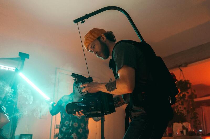
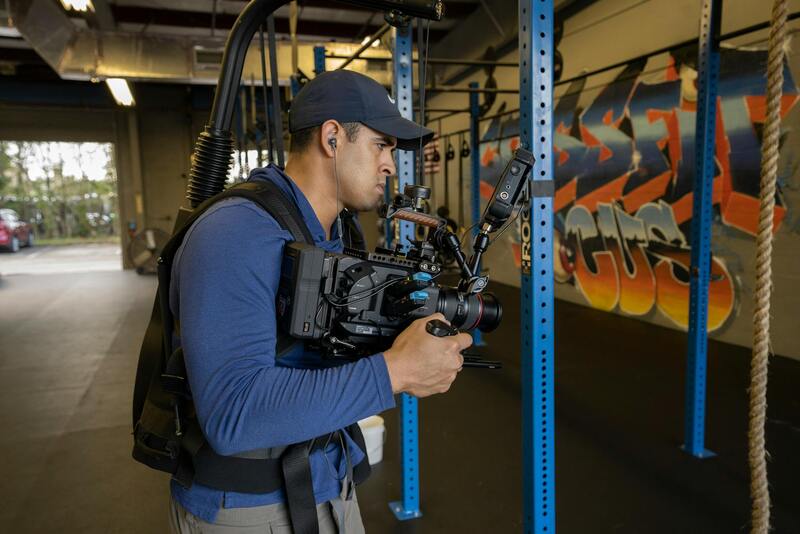
In the realm of real estate marketing, selecting the appropriate drone shots is critical to effectively showcase a property’s unique features and surrounding environment. Professionals employ a variety of aerial camera angles and techniques to create compelling visual narratives that attract potential buyers and provide comprehensive property insights. Understanding these shot types allows real estate agents and marketers to utilize drone footage as a strategic tool for property presentation.
- Exterior Wide Shots: These wide-angle shots capture the entire property, emphasizing its size, layout, and scenic surroundings. They are ideal for creating an impressive first impression and giving viewers a sense of scale.
- Property Flyovers: Smooth, continuous sequences that circle or move above the property provide a dynamic perspective of the estate’s overall architecture and landscape. Flyovers reveal aspects like backyard features, pools, gardens, and neighboring amenities.
- Aerial Land Surveys: Focused shots that highlight land boundaries, topography, and natural features. These are particularly valuable for properties with extensive acreage or unique terrains.
- Roof and Structural Details: Overhead shots that examine the roof's condition, architectural details, or potential renovations. These shots assist buyers in assessing the property's structural integrity.
- Neighborhood and Context Shots: Capturing the surrounding neighborhood, proximity to amenities, transportation links, and local attractions helps provide context, emphasizing lifestyle benefits.
 igure>
Legal and Regulatory Considerations in Miami
When deploying drone photography services in Miami, adherence to state and local regulations ensures proper operation and prevents disruptions. Regulations encompass flight altitude restrictions, no-fly zones, and operational limitations designed to safeguard airspace, privacy, and safety. It is essential for drone operators to understand the specific rules mandated by the Federal Aviation Administration (FAA) as well as any additional guidelines issued by Florida authorities and Miami municipal agencies.
Operators must secure necessary permissions, which include registering the drone and obtaining a Remote Pilot Certificate to operate commercially. These certifications demonstrate compliance with safety standards and operational protocols. Additionally, property owners should provide explicit consent for drone flights over private land to prevent privacy concerns and conflicts.
Special attention should be given to environmental factors like weather conditions, air traffic density, and restricted zones such as airports or military bases. Utilizing advanced planning tools and staying updated with local notices to airmen (NOTAMs) helps ensure lawful and unobstructed drone operations.
Varieties of Drone Shots Utilized in Real Estate Marketing
Effective real estate drone photography encompasses a diverse array of shot types that collectively enhance property presentation and attract potential buyers. Each shot type serves a specific purpose, highlighting different aspects of a property and its surroundings to create a compelling visual narrative.
- Aerial Property Shots: These images are captured from high altitudes, providing a comprehensive view of the entire property and its layout. They are instrumental in showcasing the property's size, architecture, and overall land area, which is particularly appealing for expansive estates or properties with extensive grounds.
- Establishing Shots: These shots set the scene by capturing the property's position within its neighborhood, including nearby amenities, green spaces, and accessibility. Establishing shots help prospective buyers understand the property's context and surrounding environment.
- Neighborhood Views: Providing a broader perspective, these images highlight the community, local infrastructure, and lifestyle opportunities nearby. They help buyers visualize the community atmosphere and potential lifestyle enhancements.
- Front Entrance and Driveway Shots: Focused on the curb appeal, these shots emphasize the property's facade, landscaping, and inviting entry points, which are crucial elements in attracting initial interest.
- Interior Aerial Shots (where permissible): While more specialized, some drone systems can capture interior shots or rooftop views, offering unique perspectives that traditional photography may not achieve.
- 3D Mapping and Model Creation: Integrating 3D mapping technology, drone photography can produce detailed models of the property and surrounding terrain. This approach facilitates virtual walkthroughs, enhancing remote viewing experiences and aiding in decision-making.
Utilizing this variety of shots ensures a comprehensive presentation of the property, capturing its key features and the lifestyle it offers. The combination of different angles and perspectives provides prospective buyers with a detailed understanding, increasing engagement and interest in the listing.
Ensuring High-Quality and Accurate Content in Drone Photography
When selecting a provider for real estate drone photography services, it is vital to prioritize quality and precision. Professional drone operators utilize advanced stabilization technology, high-resolution cameras, and skilled piloting techniques to produce sharp, clear, and visually compelling images that accurately depict the property. Such clarity is essential for showcasing intricate architectural details, landscaping nuances, and unique property features that contribute to making a strong listing.
Maintaining accurate representation also involves correct framing and appropriate lighting. Experienced operators understand the importance of shooting at optimal times—often during golden hour—to enhance natural light and add warmth and depth to images. Proper framing ensures aspects like the property's facade, driveway, backyard, and any special amenities are showcased effectively. This accuracy builds trust with prospective buyers, providing them a realistic preview of what to expect.
Advanced Techniques and Equipment for Superior Drone Shots
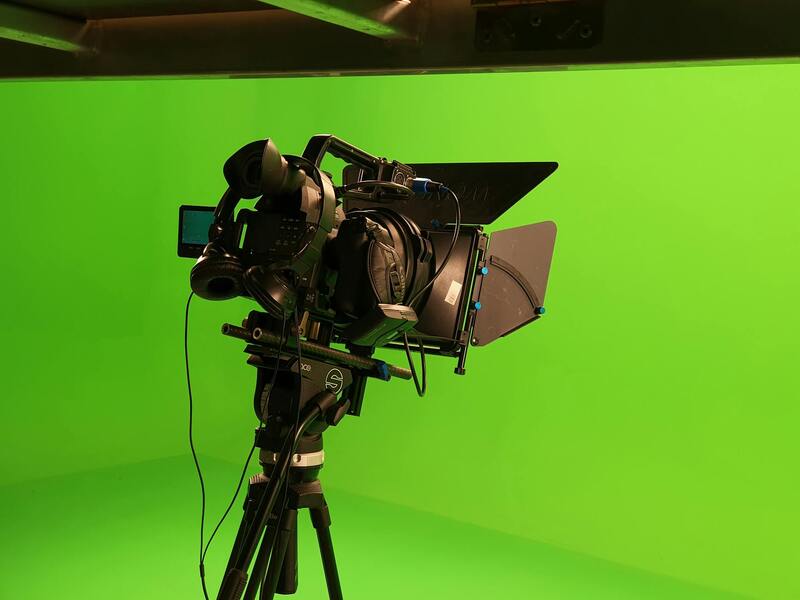
Utilizing cutting-edge equipment and techniques elevates the caliber of drone photography. Features such as 4K or higher resolution cameras, wide-angle lenses, and multi-axis gimbals contribute to capturing expansive, steady shots that reveal every aspect of a property. These technological advancements are particularly important for creating engaging aerial videos and panoramic images that draw potential buyers' attention.
Furthermore, specialized drone setups can include multi-rotor systems capable of stable hover in tight spaces, allowing for detailed close-up shots of architectural elements or landscaping features. Color correction, HDR imaging, and post-processing ensure photos are visually vibrant and true to life while maintaining a professional appearance.
Specialized Shots for a Full-Spectrum Property Presentation
In addition to standard aerial images, professional drone services can deliver a suite of specialized shots to enrich a property listing:
- Curb Appeal Shots: Focused images of the front facade, driveway, and landscaping that create an inviting first impression.
- Indoor and Rooftop Views: Where permissible, aerial shots of rooftops and terraces offer unique perspectives often unattainable with traditional photography.
- Property Boundaries and Surroundings: Detailed images illustrating the extent of the property and its proximity to amenities, green spaces, or water features.
- Timeline and Panorama Shots: Wide-angle panoramas provide potential buyers with a comprehensive view of the property and setting in a single frame.
Adherence to Standards for Consistent and Reliable Results
To guarantee the highest standard in drone photography, providers should adhere to established operational protocols. This involves regular equipment maintenance, ongoing pilot training, and rigorous planning prior to shoots. Scheduling shoots during ideal weather conditions ensures stability and safety, resulting in consistent image quality.
Ensuring compliance with recommended flight altitudes and angles helps in capturing images that are both aesthetically pleasing and accurate. Moreover, utilizing standardized workflows for editing and post-production enhances the consistency and professionalism of the final product. These practices collectively contribute to creating compelling, reliable visuals that effectively serve real estate marketing efforts.
Legal and Regulatory Considerations in Miami
When leveraging real estate drone photography services in Miami, understanding the specific frameworks that govern drone operations is crucial for seamless and compliant marketing efforts. Miami's airspace regulations emphasize safety, privacy, and operational oversight, ensuring drone activities are conducted responsibly and efficiently. Adhering to altitude restrictions is vital; typical guidelines recommend maintaining drone flights below certain elevation limits to prevent interference with manned aircraft and to respect no-fly zones, especially near airports and sensitive areas. Permits and authorizations are often necessary for commercial drone use, especially when capturing images over private property or in proximity to public lands. Securing these approvals involves submitting flight plans to relevant local agencies and ensuring that your drone pilots are certified for commercial operations.
Operators must also be attentive to privacy considerations, avoiding intrusive imaging of private residences or sensitive locations without appropriate permissions. This responsibility underscores the importance of clear communication with property owners and residents, and of respecting boundaries established by local ordinances or community guidelines. Ongoing training and familiarity with the latest updates to Miami’s drone policies help service providers maintain high standards of safety and professionalism. Incorporating proper insurance policies further protects all parties involved, covering potential liabilities associated with aerial operations.
By integrating these regulatory considerations into operational procedures, providers can ensure their drone activities align with current requirements and best practices. This approach not only facilitates smoother project execution but also enhances the credibility of the service provider. As the landscape of drone regulation evolves, staying informed about new policies and technological innovations is essential for maintaining compliance and delivering high-quality visual content. Ultimately, a well-informed approach to drone regulations helps protect the interests of clients, property owners, and all participants involved in the marketing process.
Choosing a Drone Photography Service Provider in Miami
Securing a reputable and experienced drone photography service provider in Miami is essential to achieving high-quality visual content that elevates your real estate listings. When evaluating potential providers, consider their portfolio to assess the diversity and professionalism of their work, ensuring their style aligns with your marketing objectives. An established provider should possess advanced drone equipment capable of capturing multiple angles, high-definition images, and dynamic video footage that highlight the property's unique features. Expertise in real estate imagery is a critical factor. A service provider with a background in real estate marketing will understand the importance of framing, lighting, and shot selection to maximize appeal. They should be adept at providing a variety of shots, including aerial property views, neighborhood overviews, and detailed interior shots, even when using drone-mounted cameras. Reliability and professionalism are equally vital. Confirm that the operator maintains proper credentials, adheres to safety protocols, and demonstrates a commitment to punctuality and customer service. Transparent communication from the outset about project scope, timelines, and deliverables can prevent misunderstandings. Additionally, inquire about their process for post-production editing, ensuring color correction, stabilization, and image enhancement are handled to professional standards. Insurance and liability coverage form part of a comprehensive service offer, providing peace of mind in case of unforeseen incidents. A seasoned provider will have appropriate insurance policies in place to cover potential damages or accidents during drone flights. Pricing structures should be clear and competitive, reflecting the complexity and scope of the shoot. While cost is a consideration, it should not compromise the quality of visuals; instead, seek a provider that balances affordability with mastery of drone technology and aesthetics. Client references and reviews can offer insights into the provider’s reputation and reliability. Engaging with past clients helps gauge satisfaction levels and the overall quality of the service. In the dynamic real estate market of Miami, partnering with a drone photography provider that combines technical expertise, artistic vision, and professional integrity ensures your property listings stand out effectively, attracting more potential buyers and accelerating sales.
Legal and Regulatory Considerations in Miami
When engaging in real estate drone photography within Miami, it is essential to understand the specific protocols for operating unmanned aircraft systems (UAS). Operators must adhere to established procedures designed to ensure safety, privacy, and operational efficiency. This includes understanding airspace classifications, obtaining necessary authorizations for flying in controlled areas, and respecting privacy boundaries of local residents and businesses.
Efficient compliance often involves coordinating with local authorities or relevant agencies to secure the appropriate permissions before conducting drone flights. Such measures help mitigate potential disruptions and uphold standards that support seamless integration into the broader aerial photography ecosystem. Additionally, operators should be familiar with Miami-specific restrictions, such as no-fly zones around airports, government buildings, and other sensitive infrastructure.
To uphold high standards for drone photography, service providers typically employ detailed pre-flight risk assessments and compliance checklists. These steps facilitate responsible flying practices and ensure that visual content collection aligns with local guidelines. Moreover, professional drone operators often participate in ongoing training programs to stay current with evolving requirements and technological advancements.
By choosing providers who prioritize compliance and safety, real estate professionals can confidently incorporate drone imagery into their marketing strategies, knowing that all aerial shoots are conducted with respect for legal frameworks and community standards.
Choosing a Drone Photography Service Provider in Miami
Selecting the right partner for real estate drone photography involves evaluating several critical factors. Experience within the local Miami market is paramount, as familiarity with the area's unique aerial traffic patterns, weather conditions, and zoning laws can significantly impact the quality and safety of flights. Look for providers who demonstrate a proven track record of successful projects in the region, supported by a robust portfolio of real estate imagery.
Technical proficiency is another vital aspect. The provider should utilize state-of-the-art drones equipped with high-resolution cameras, stabilization technology, and advanced flight capabilities. Their team ought to include licensed pilots or certified drone operators who can handle complex shots and adapt to varying environmental conditions.
Customer service and professionalism also play a crucial role. Transparent pricing, prompt communication, and a clear workflow from booking to post-production editing ensure a smooth experience. It's advisable to review client testimonials or request references to assess reliability and the quality of delivered content.
Ultimately, partnering with a dedicated and compliant drone photography provider ensures that each real estate listing benefits from compelling aerial imagery that enhances property appeal and attracts potential buyers effectively.
Cost and Pricing of Drone Photography Services
Understanding the investment involved in professional drone photography services is essential for real estate agents and property owners aiming to maximize their property’s visibility. Pricing structures can vary based on numerous factors, including the scope of the project, the complexity of required shots, and the experience of the service provider. Typically, providers offer tiered packages that include different levels of coverage, from basic aerial shots to comprehensive video tours that showcase the property from various angles and elevations.
Standard fees for basic drone photography sessions generally range from several hundred to over a thousand dollars. This often includes a set number of high-resolution images captured from multiple angles, emphasizing the property's best features. For more elaborate projects involving 4K video footage, aerial cinematography, or twilight shoots, prices tend to increase, reflecting the additional time, equipment, and post-production work required.
Additional costs may arise from specialized requests, such as drone flight over difficult terrains, complex aerial mapping, or the need for multiple revisits due to weather conditions. It's advisable to request detailed quotes that itemize these potential charges, ensuring transparency and alignment with budget expectations. Some providers may also offer package deals for multiple listings or ongoing marketing campaigns, providing increased value for consistent use of drone imagery.
Investing in reputable drone photography services often translates into higher quality images, faster turnaround times, and a more strategic approach to property marketing. Given the competitive real estate landscape in Miami, having access to compelling, professionally captured aerial visuals can distinguish listings from numerous others. It is essential to weigh the cost against the potential for increased market interest, quicker sales, and premium pricing opportunities.